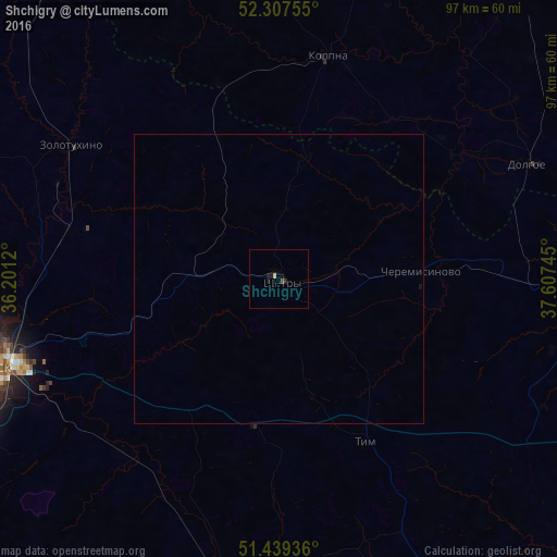
Shchigry night lights from space
Night Light of Shchigry (Kursk) from space (Russia) Src. Average luminocity for 10x10km area is 1.0859% and for 50x50km: 0.0486%.
Analysis of Shchigry night lights 2016
Square area 10x10 km:
 0%
0%90-99
0%80-89
0.51%70-79
0%60-69
0%50-59
0.13%40-49
0.38%30-39
0%20-29
0.51%10-19
1.52%0-9
96.97%Square area 50x50 km:
0%90-99
0%80-89
0.02%70-79
0%60-69
0%50-59
0.01%40-49
0.02%30-39
0%20-29
0.02%10-19
0.08%0-9
99.85%Clear (daylight) street map image can be seen on geolist.org.
Map coordinates:
52° 18' 27.2" North, 36° 12' 4.3" East
51° 52' 32" North, 36° 54' 15.6" East
51° 26' 21.7" North, 37° 36' 26.8" East
Some cities around Shchigry sort by population:
• Kursk
51.6 km =32.1 mi,  252°
252°
• Livny
77.7 km =48.3 mi,  38°
38°
• Kolpny
40.2 km =25 mi,  13°
13°
• Kshenskiy
55.7 km =34.6 mi,  93°
93°
• Troitskiy
71.7 km =44.6 mi,  143°
143°
• Fatezh
75.1 km =46.7 mi,  288°
288°
• Pristen’
72.6 km =45.1 mi,  191°
191°
• Pryamitsyno
71.3 km =44.3 mi, 249°
495206 (p: 19,198)
Sources (retrieved 2019-11-25):
» Earth at Night: Flat Maps 2012, 2016