Kolpny night lights from space
Night Light of Kolpny (Orel Oblast) from space (Russia) Src. Average luminocity for 10x10km area is 0.2685% and for 50x50km: 0.0128%.
Analysis of Kolpny night lights 2016
Square area 10x10 km:
 0%
0%90-99
0%80-89
0%70-79
0%60-69
0%50-59
0%40-49
0%30-39
0.13%20-29
0.79%10-19
0.13%0-9
98.94%Square area 50x50 km:
0%90-99
0%80-89
0%70-79
0%60-69
0%50-59
0%40-49
0%30-39
0.01%20-29
0.03%10-19
0.02%0-9
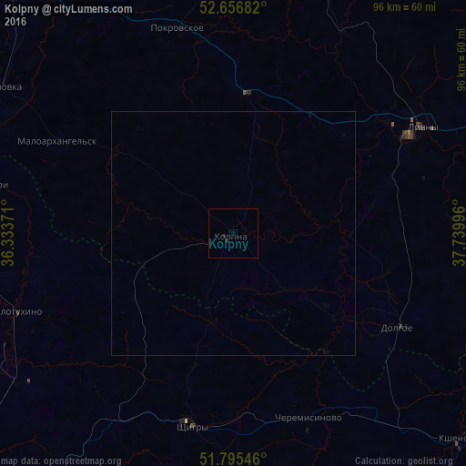
99.95%Clear (daylight) street map image can be seen on geolist.org.
Map coordinates:
52° 39' 24.6" North, 36° 20' 1.4" East
52° 13' 41.6" North, 37° 2' 12.6" East
51° 47' 43.7" North, 37° 44' 23.9" East
Some cities around Kolpny sort by population:
• Kursk
79.8 km =49.6 mi,  226°
226°
• Livny
44.5 km =27.7 mi,  60°
60°
• Shchigry
40.2 km =25 mi,  193°
193°
• Verkhov’ye
66.3 km =41.2 mi,  12°
12°
• Glazunovka
57.3 km =35.6 mi,  301°
301°
• Kshenskiy
63.2 km =39.3 mi,  132°
132°
• Zmiyëvka
66.3 km =41.2 mi,  317°
317°
• Zalegoshch’
75.2 km =46.7 mi,  352°
352°
546092 (p: 7,081)
Sources (retrieved 2019-11-25):
» Earth at Night: Flat Maps 2012, 2016