Livny night lights from space
Night Light of Livny (Orel Oblast) from space (Russia) Src. Average luminocity for 10x10km area is 3.7071% and for 50x50km: 0.1693%.
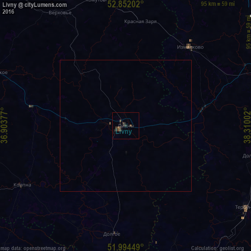
Analysis of Livny night lights 2016
Square area 10x10 km:
 0%
0%90-99
0%80-89
0%70-79
0%60-69
0.51%50-59
1.52%40-49
1.52%30-39
2.02%20-29
1.52%10-19
2.78%0-9
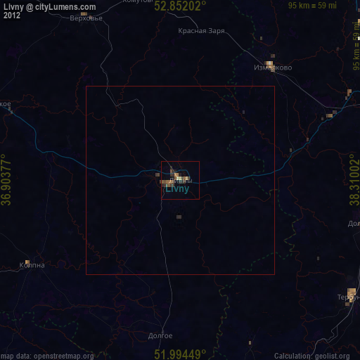
90.15%Square area 50x50 km:
0%90-99
0%80-89
0%70-79
0%60-69
0.02%50-59
0.08%40-49
0.07%30-39
0.08%20-29
0.06%10-19
0.14%0-9
99.55%Clear (daylight) street map image can be seen on geolist.org.
Map coordinates:
52° 51' 7.3" North, 36° 54' 13.6" East
52° 25' 31.2" North, 37° 36' 24.8" East
51° 59' 40.2" North, 38° 18' 36.1" East
Some cities around Livny sort by population:
• Yelets
64.4 km =40 mi,  69°
69°
• Verkhov’ye
49.5 km =30.8 mi,  330°
330°
• Kolpny
44.5 km =27.7 mi,  240°
240°
• Terbuny
55.3 km =34.4 mi,  123°
123°
• Kshenskiy
65.4 km =40.6 mi,  173°
173°
• Zalegoshch’
71.4 km =44.4 mi,  317°
317°
• Dolgorukovo
51.5 km =32 mi,  103°
103°
• Stanovoye
63.2 km =39.3 mi,  53°
53°
534701 (p: 52,915)
Sources (retrieved 2019-11-25):
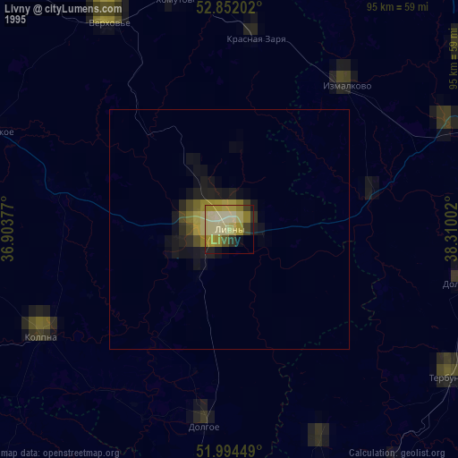
» NASA, Earths city lights 1995
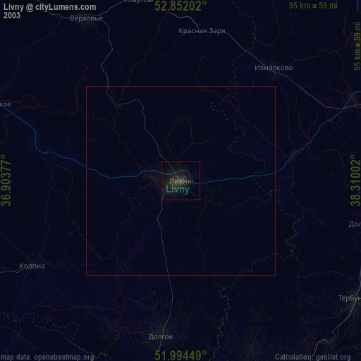
» NASA city lights 2003
» Earth at Night: Flat Maps 2012, 2016