Shamil’kala night lights from space
Night Light of Shamil’kala (Dagestan) from space (Russia) Src. Average luminocity for 10x10km area is 2.8288% and for 50x50km: 3.5221%.
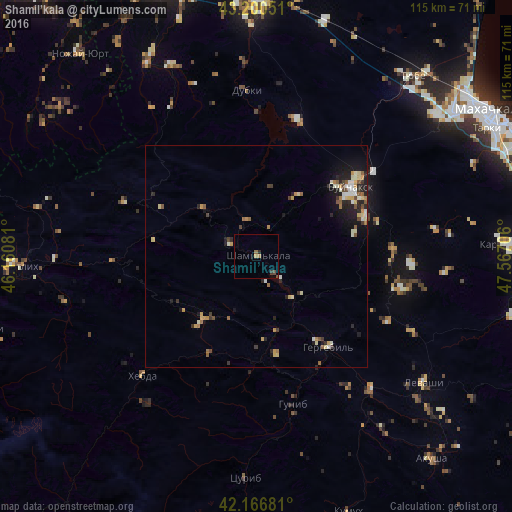
Analysis of Shamil’kala night lights 2016
Square area 10x10 km:
 0%
0%90-99
0%80-89
0%70-79
0.61%60-69
0.91%50-59
0.3%40-49
1.21%30-39
0.76%20-29
0.45%10-19
0%0-9
95.76%Square area 50x50 km:
0.2%90-99
0.68%80-89
0.53%70-79
0.53%60-69
0.41%50-59
0.47%40-49
0.45%30-39
0.44%20-29
0.91%10-19
2.13%0-9
93.26%Clear (daylight) street map image can be seen on geolist.org.
Map coordinates:
43° 12' 1.8" North, 46° 9' 38.9" East
42° 41' 8.9" North, 46° 51' 50.1" East
42° 10' 0.5" North, 47° 34' 1.4" East
Some cities around Shamil’kala sort by population:
• Buynaksk
25.6 km =15.9 mi,  54°
54°
• Nizhneye Kazanishche
25.7 km =16 mi,  70°
70°
• Chirkey
32 km =19.9 mi,  16°
16°
• Nizhniy Dzhengutay
31.2 km =19.4 mi,  87°
87°
• Verkhneye Kazanishche
23 km =14.3 mi,  76°
76°
• Untsukul’
6.9 km =4.3 mi,  294°
294°
• Dorgeli
35.2 km =21.9 mi, 93°
• Gergebil’
26.1 km =16.2 mi,  140°
140°
858701 (p: 7,163)
Sources (retrieved 2019-11-25):
» Earth at Night: Flat Maps 2012, 2016