Sestroretsk night lights from space
Night Light of Sestroretsk (St.-Petersburg) from space (Russia) Src. Average luminocity for 10x10km area is 36.219% and for 50x50km: 31.6584%.
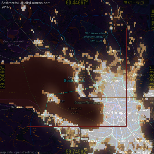
Analysis of Sestroretsk night lights 2016
Square area 10x10 km:
 3.31%
3.31%90-99
6.51%80-89
6.1%70-79
4.13%60-69
4.96%50-59
3.1%40-49
2.38%30-39
6.2%20-29
23.35%10-19
28.51%0-9
11.47%Square area 50x50 km:
11.36%90-99
5.76%80-89
2.95%70-79
3.86%60-69
3.64%50-59
1.54%40-49
0.93%30-39
1.88%20-29
8.2%10-19
15.42%0-9
44.44%Clear (daylight) street map image can be seen on geolist.org.
Map coordinates:
60° 26' 48" North, 29° 15' 38.4" East
60° 5' 52.8" North, 29° 57' 49.6" East
59° 44' 44.2" North, 30° 40' 0.9" East
Some cities around Sestroretsk sort by population:
• Kurortnyy
8.1 km =5 mi,  337°
337°
• Untolovo
16.6 km =10.3 mi,  125°
125°
• Sertolovo
14.1 km =8.8 mi,  68°
68°
• Kronstadt
15.8 km =9.8 mi,  223°
223°
• Pargolovo
17.4 km =10.8 mi,  96°
96°
• Lakhtinskiy
15.3 km =9.5 mi,  138°
138°
• Pesochnyy
11.4 km =7.1 mi,  75°
75°
• Tarkhovka
3.5 km =2.2 mi,  170°
170°
496478 (p: 37,248)
Sources (retrieved 2019-11-25):
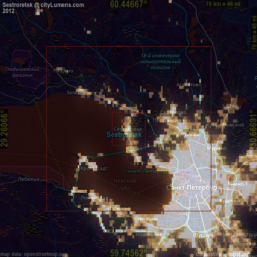
» Earth at Night: Flat Maps 2012, 2016