Kronstadt night lights from space
Night Light of Kronstadt (St.-Petersburg) from space (Russia) Src. Average luminocity for 10x10km area is 31.5455% and for 50x50km: 23.6706%.
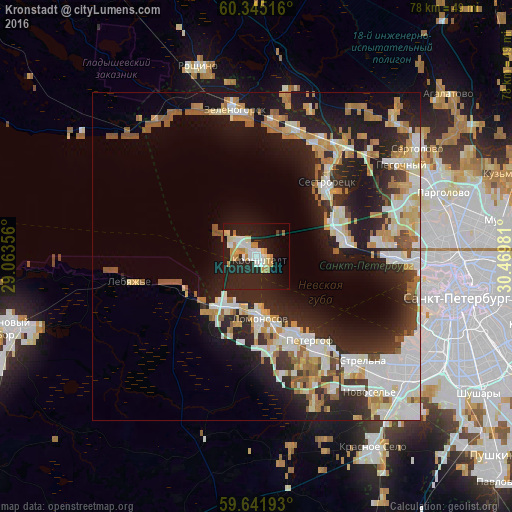
Analysis of Kronstadt night lights 2016
Square area 10x10 km:
 4.44%
4.44%90-99
6.6%80-89
4.11%70-79
6.49%60-69
2.6%50-59
0.87%40-49
0%30-39
0.43%20-29
21.86%10-19
29.44%0-9
23.16%Square area 50x50 km:
4.43%90-99
5.45%80-89
2.73%70-79
3.42%60-69
2.61%50-59
2.48%40-49
0.99%30-39
2.32%20-29
8.47%10-19
14.35%0-9
52.74%Clear (daylight) street map image can be seen on geolist.org.
Map coordinates:
60° 20' 42.6" North, 29° 3' 48.8" East
59° 59' 43.5" North, 29° 46' 0" East
59° 38' 30.9" North, 30° 28' 11.3" East
Some cities around Kronstadt sort by population:
• Peterhof
14.5 km =9 mi,  149°
149°
• Kurortnyy
20.5 km =12.7 mi,  22°
22°
• Petrodvorets
11.3 km =7 mi,  170°
170°
• Lomonosov
9.9 km =6.2 mi,  178°
178°
• Sestroretsk
15.8 km =9.8 mi,  43°
43°
• Ol’gino
19.6 km =12.2 mi, 153°
• Tarkhovka
14 km =8.7 mi,  55°
55°
• Lebyazh’ye
19.9 km =12.4 mi,  259°
259°
540771 (p: 43,005)
Sources (retrieved 2019-11-25):
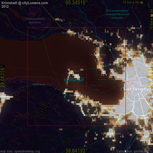
» Earth at Night: Flat Maps 2012, 2016