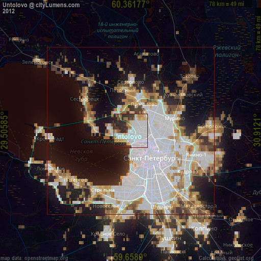
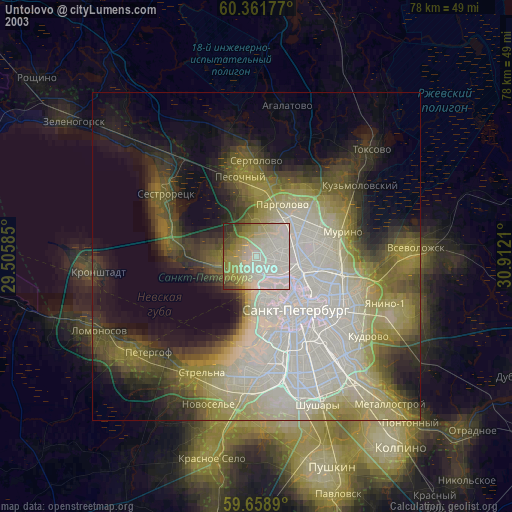
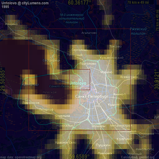
Untolovo night lights from space
Night Light of Untolovo (Leningradskaya Oblast') from space (Russia) Src. Average luminocity for 10x10km area is 83.4448% and for 50x50km: 52.2386%.

Analysis of Untolovo night lights 2016
Square area 10x10 km:
 40.8%
40.8%90-99
22.29%80-89
8.66%70-79
5.52%60-69
3.57%50-59
5.09%40-49
4%30-39
4.55%20-29
4.44%10-19
1.08%0-9
0%Square area 50x50 km:
22.9%90-99
10.43%80-89
4.28%70-79
5.22%60-69
4.69%50-59
2.22%40-49
1.72%30-39
4.34%20-29
10.37%10-19
14.74%0-9
19.08%Clear (daylight) street map image can be seen on geolist.org.
Map coordinates:
60° 21' 42.4" North, 29° 30' 21.1" East
60° 0' 43.9" North, 30° 12' 32.3" East
59° 39' 32" North, 30° 54' 43.6" East
Some cities around Untolovo sort by population:
• Komendantsky aerodrom
3.8 km =2.4 mi,  103°
103°
• Chernaya Rechka
6 km =3.7 mi,  119°
119°
• Kolomyagi
4.4 km =2.7 mi,  72°
72°
• Staraya Derevnya
3.3 km =2.1 mi,  144°
144°
• Krestovskiy ostrov
5.3 km =3.3 mi,  149°
149°
• Novaya Derevnya
5.1 km =3.2 mi, 122°
• Lakhtinskiy
3.9 km =2.4 mi,  241°
241°
• Shuvalovo
6.2 km =3.9 mi,  48°
48°
8504947 (p: 50,000)
Sources (retrieved 2019-11-25):
» NASA, Earths city lights 1995
» NASA city lights 2003
» Earth at Night: Flat Maps 2012, 2016