Segezha night lights from space
Night Light of Segezha (Karelia) from space (Russia) Src. Average luminocity for 10x10km area is 18.0169% and for 50x50km: 0.8068%.
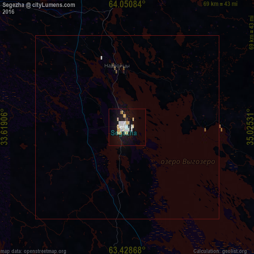
Analysis of Segezha night lights 2016
Square area 10x10 km:
 3.67%
3.67%90-99
3.97%80-89
4.17%70-79
2.08%60-69
0%50-59
0.4%40-49
0.2%30-39
0.2%20-29
0.6%10-19
23.12%0-9
61.61%Square area 50x50 km:
0.15%90-99
0.16%80-89
0.16%70-79
0.08%60-69
0%50-59
0.05%40-49
0.03%30-39
0.02%20-29
0.03%10-19
0.97%0-9
98.35%Clear (daylight) street map image can be seen on geolist.org.
Map coordinates:
64° 3' 3" North, 33° 37' 8.6" East
63° 44' 29.3" North, 34° 19' 19.8" East
63° 25' 43.2" North, 35° 1' 31.1" East
Some cities around Segezha sort by population:
• Kondopoga
170.8 km =106.1 mi,  181°
181°
• Kostomuksha
203.6 km =126.5 mi,  296°
296°
• Onega
186.7 km =116 mi,  84°
84°
• Medvezh’yegorsk
91.9 km =57.1 mi, 175°
• Kem’
135.5 km =84.2 mi,  5°
5°
• Belomorsk
89.6 km =55.7 mi, 13°
• Nadvoitsy
13.9 km =8.6 mi,  358°
358°
• Pindushi
92.8 km =57.7 mi,  172°
172°
497927 (p: 33,354)
Sources (retrieved 2019-11-25):
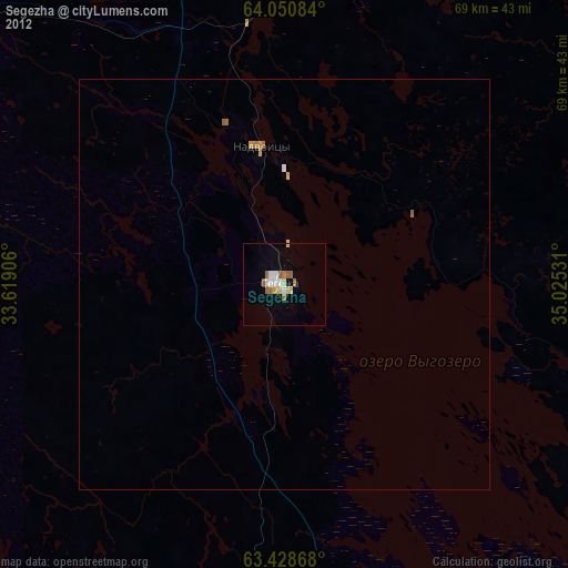
» Earth at Night: Flat Maps 2012, 2016