Kostomuksha night lights from space
Night Light of Kostomuksha (Karelia) from space (Russia) Src. Average luminocity for 10x10km area is 21.76% and for 50x50km: 4.3163%.
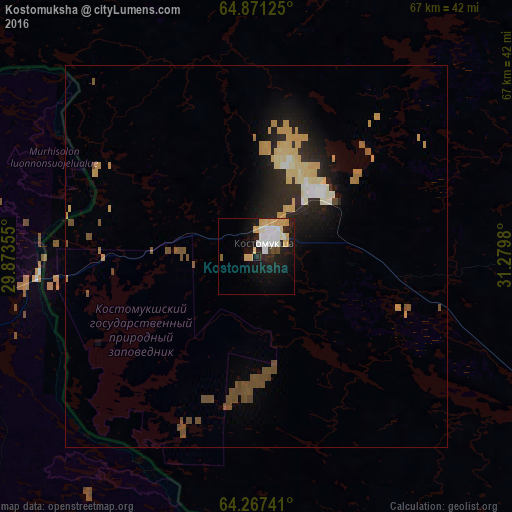
Analysis of Kostomuksha night lights 2016
Square area 10x10 km:
 4%
4%90-99
6%80-89
2.86%70-79
4.67%60-69
0%50-59
0.38%40-49
1.14%30-39
0.48%20-29
4.67%10-19
18.38%0-9
57.43%Square area 50x50 km:
0.26%90-99
0.67%80-89
0.72%70-79
1.07%60-69
0.21%50-59
0.49%40-49
0.83%30-39
0.11%20-29
1.54%10-19
2.87%0-9
91.24%Clear (daylight) street map image can be seen on geolist.org.
Map coordinates:
64° 52' 16.5" North, 29° 52' 24.8" East
64° 34' 15.6" North, 30° 34' 36" East
64° 16' 2.7" North, 31° 16' 47.3" East
Some cities around Kostomuksha sort by population:
• Kajaani, FI
142.1 km =88.3 mi,  254°
254°
• Lieksa, FI
142.1 km =88.3 mi,  191°
191°
• Sotkamo, FI
114.8 km =71.3 mi,  244°
244°
• Kuhmo, FI
70.5 km =43.8 mi,  226°
226°
• Suomussalmi, FI
86.6 km =53.8 mi,  293°
293°
• Nurmes, FI
134.1 km =83.3 mi,  211°
211°
• Vuokatti, FI
120.2 km =74.7 mi, 246°
• Kalevala
75.6 km =47 mi,  22°
22°
543899 (p: 30,135)
Sources (retrieved 2019-11-25):
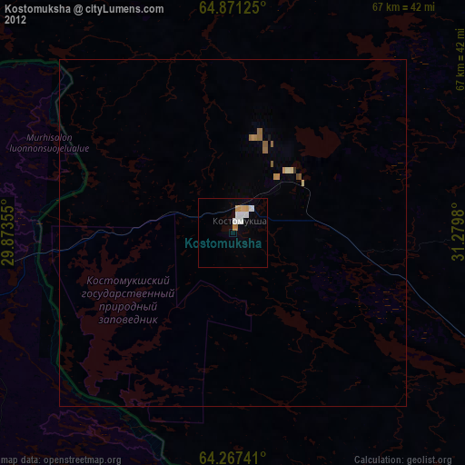
» Earth at Night: Flat Maps 2012, 2016