Raduzhny night lights from space
Night Light of Raduzhny (Khanty-Mansia) from space (Russia) Src. Average luminocity for 10x10km area is 27.1265% and for 50x50km: 3.0714%.
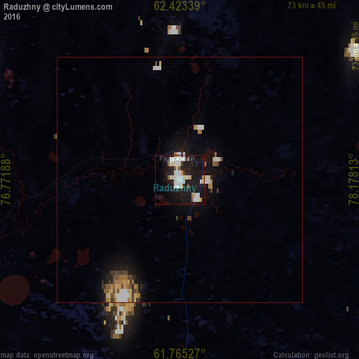
Analysis of Raduzhny night lights 2016
Square area 10x10 km:
 6.13%
6.13%90-99
7.61%80-89
3.06%70-79
1.98%60-69
0.4%50-59
1.38%40-49
1.58%30-39
0.89%20-29
4.55%10-19
38.34%0-9
34.09%Square area 50x50 km:
0.44%90-99
0.6%80-89
0.39%70-79
0.35%60-69
0.32%50-59
0.26%40-49
0.37%30-39
0.32%20-29
0.4%10-19
2.95%0-9
93.61%Clear (daylight) street map image can be seen on geolist.org.
Map coordinates:
62° 25' 24.2" North, 76° 46' 18.8" East
62° 5' 46" North, 77° 28' 30" East
61° 45' 55" North, 78° 10' 41.3" East
Some cities around Raduzhny sort by population:
• Nizhnevartovsk
138.1 km =85.8 mi,  200°
200°
• Kogalym
156.6 km =97.3 mi,  276°
276°
• Megion
138.8 km =86.2 mi,  211°
211°
• Strezhevoy
151.7 km =94.3 mi,  177°
177°
• Langepas
151.7 km =94.3 mi,  231°
231°
• Izluchinsk
127.5 km =79.2 mi,  193°
193°
• Pokachi
118 km =73.3 mi,  249°
249°
• Novoagansk
45.6 km =28.3 mi, 248°
1540356 (p: 47,679)
Sources (retrieved 2019-11-25):
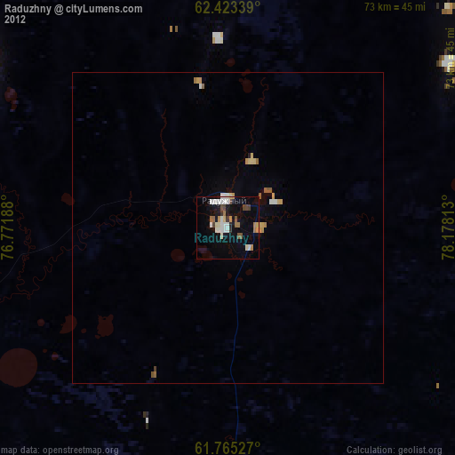
» Earth at Night: Flat Maps 2012, 2016