Prokhladnyy night lights from space
Night Light of Prokhladnyy (Kabardino-Balkariya Republic) from space (Russia) Src. Average luminocity for 10x10km area is 7.3091% and for 50x50km: 0.7217%.
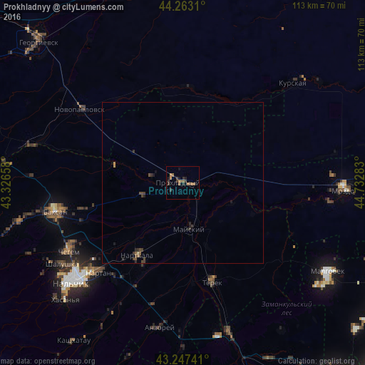
Analysis of Prokhladnyy night lights 2016
Square area 10x10 km:
 0%
0%90-99
0%80-89
0%70-79
1.36%60-69
2.58%50-59
2.58%40-49
0.91%30-39
3.33%20-29
1.36%10-19
2.12%0-9
85.76%Square area 50x50 km:
0%90-99
0%80-89
0.02%70-79
0.1%60-69
0.13%50-59
0.19%40-49
0.23%30-39
0.38%20-29
0.21%10-19
0.25%0-9
98.47%Clear (daylight) street map image can be seen on geolist.org.
Map coordinates:
44° 15' 47.2" North, 43° 19' 35.7" East
43° 45' 26.7" North, 44° 1' 46.9" East
43° 14' 50.7" North, 44° 43' 58.2" East
Some cities around Prokhladnyy sort by population:
• Nartkala
26.5 km =16.5 mi,  212°
212°
• Terek
31.7 km =19.7 mi,  164°
164°
• Sovetskaya
30 km =18.6 mi,  3°
3°
• Kakhun
26.8 km =16.7 mi, 207°
• Baksanenok
31.1 km =19.3 mi,  255°
255°
• Staryy Cherek
35 km =21.7 mi,  204°
204°
• Karagach
21.1 km =13.1 mi,  284°
284°
• Altud
13.7 km =8.5 mi,  253°
253°
504935 (p: 60,800)
Sources (retrieved 2019-11-25):
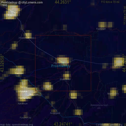
» NASA, Earths city lights 1995
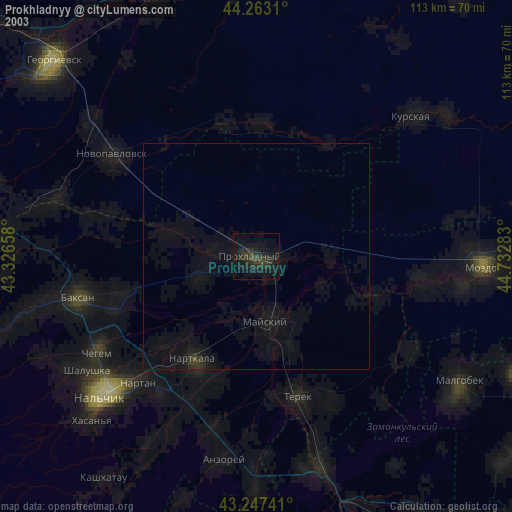
» NASA city lights 2003
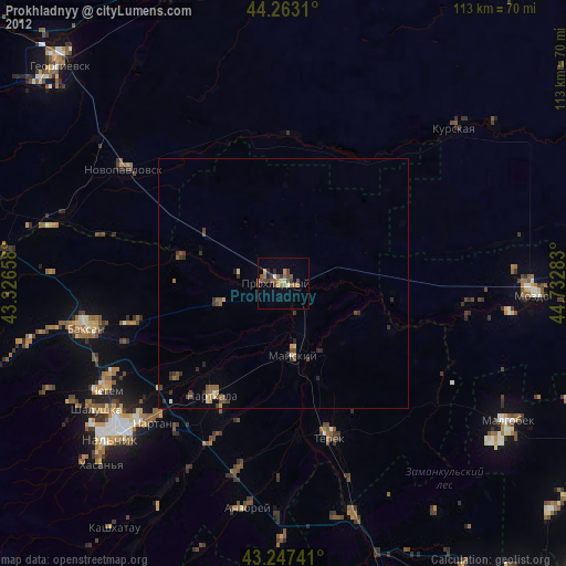
» Earth at Night: Flat Maps 2012, 2016