Staryy Cherek night lights from space
Night Light of Staryy Cherek (Kabardino-Balkariya Republic) from space (Russia) Src. Average luminocity for 10x10km area is 0.9603% and for 50x50km: 5.0677%.
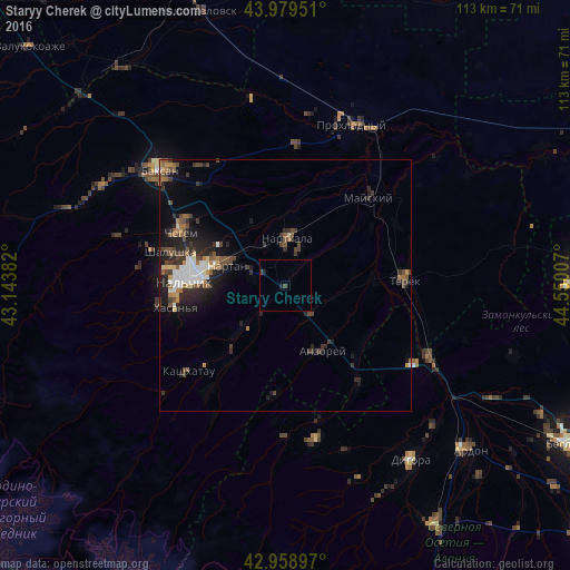
Analysis of Staryy Cherek night lights 2016
Square area 10x10 km:
 0%
0%90-99
0%80-89
0%70-79
0%60-69
0%50-59
0%40-49
0.63%30-39
0.63%20-29
0.32%10-19
0.95%0-9
97.46%Square area 50x50 km:
0.8%90-99
0.62%80-89
0.35%70-79
0.38%60-69
0.57%50-59
0.85%40-49
1.08%30-39
1.3%20-29
1.95%10-19
3.23%0-9
88.87%Clear (daylight) street map image can be seen on geolist.org.
Map coordinates:
43° 58' 46.2" North, 43° 8' 37.8" East
43° 28' 17" North, 43° 50' 49" East
42° 57' 32.3" North, 44° 33' 0.3" East
Some cities around Staryy Cherek sort by population:
• Nal’chik
18.6 km =11.6 mi,  279°
279°
• Nartkala
9.6 km =6 mi,  1°
1°
• Chegem
22.7 km =14.1 mi,  295°
295°
• Nartan
12.7 km =7.9 mi,  290°
290°
• Argudan
7.9 km =4.9 mi,  134°
134°
• Kakhun
8.3 km =5.2 mi,  16°
16°
• Psygansu
7.2 km =4.5 mi,  216°
216°
• Urvan’
7.3 km =4.5 mi, 288°
488142 (p: 6,702)
Sources (retrieved 2019-11-25):
» Earth at Night: Flat Maps 2012, 2016