Nartkala night lights from space
Night Light of Nartkala (Kabardino-Balkariya Republic) from space (Russia) Src. Average luminocity for 10x10km area is 6.0111% and for 50x50km: 5.3198%.
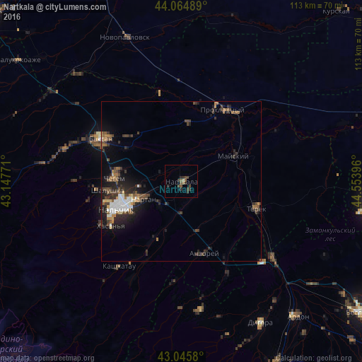
Analysis of Nartkala night lights 2016
Square area 10x10 km:
 0%
0%90-99
0%80-89
0.63%70-79
0%60-69
0.63%50-59
2.06%40-49
2.7%30-39
4.29%20-29
1.75%10-19
0%0-9
87.94%Square area 50x50 km:
0.77%90-99
0.61%80-89
0.37%70-79
0.4%60-69
0.64%50-59
0.95%40-49
1.16%30-39
1.45%20-29
1.91%10-19
3.39%0-9
88.36%Clear (daylight) street map image can be seen on geolist.org.
Map coordinates:
44° 3' 53.6" North, 43° 8' 51.8" East
43° 33' 27" North, 43° 51' 3" East
43° 2' 44.9" North, 44° 33' 14.3" East
Some cities around Nartkala sort by population:
• Nal’chik
19.8 km =12.3 mi,  250°
250°
• Nartan
13.3 km =8.3 mi, 246°
• Argudan
16 km =9.9 mi,  160°
160°
• Kakhun
2.6 km =1.6 mi,  127°
127°
• Psygansu
16 km =9.9 mi,  196°
196°
• Staryy Cherek
9.6 km =6 mi,  181°
181°
• Altud
18.3 km =11.4 mi,  3°
3°
• Urvan’
10.3 km =6.4 mi,  225°
225°
523405 (p: 33,390)
Sources (retrieved 2019-11-25):
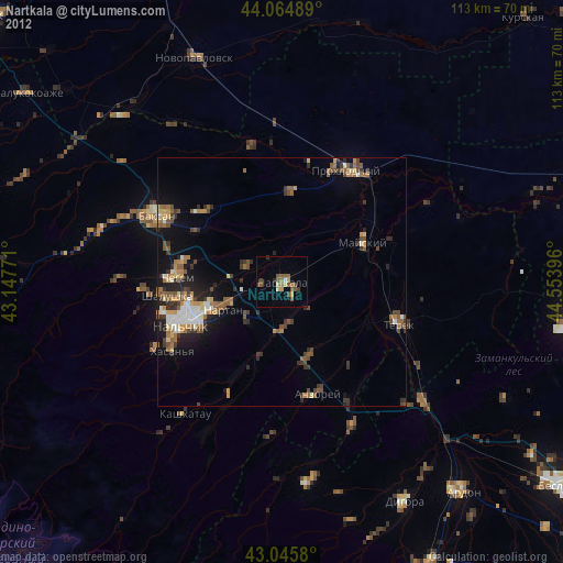
» Earth at Night: Flat Maps 2012, 2016