Poltavka night lights from space
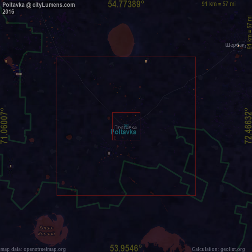
Night Light of Poltavka (Omsk) from space (Russia) Src. Average luminocity for 10x10km area is 0% and for 50x50km: 0.0191%.
Analysis of Poltavka night lights 2016
Square area 10x10 km:
 0%
0%90-99
0%80-89
0%70-79
0%60-69
0%50-59
0%40-49
0%30-39
0%20-29
0%10-19
0%0-9
100%Square area 50x50 km:
0%90-99
0%80-89
0%70-79
0%60-69
0%50-59
0.02%40-49
0%30-39
0.02%20-29
0%10-19
0%0-9
99.96%Clear (daylight) street map image can be seen on geolist.org.
Map coordinates:
54° 46' 26" North, 71° 3' 36.3" East
54° 21' 58.6" North, 71° 45' 47.5" East
53° 57' 16.6" North, 72° 27' 58.8" East
Some cities around Poltavka sort by population:
• Lyubinskiy
106 km =65.9 mi,  34°
34°
• Luzino
104.3 km =64.8 mi,  51°
51°
• Bulayevo, KZ
104.1 km =64.7 mi,  305°
305°
• Vkhodnoy
111.5 km =69.3 mi, 54°
• Sherbakul’
50.4 km =31.3 mi, 54°
• Kzyltu, KZ
89.6 km =55.7 mi,  155°
155°
• Odesskoye
79.8 km =49.6 mi,  102°
102°
• Azovo
89.4 km =55.6 mi,  65°
65°
1494500 (p: 7,103)
Sources (retrieved 2019-11-25):
» Earth at Night: Flat Maps 2012, 2016