Azovo night lights from space
Night Light of Azovo (Omsk) from space (Russia) Src. Average luminocity for 10x10km area is 1.0363% and for 50x50km: 1.1248%.
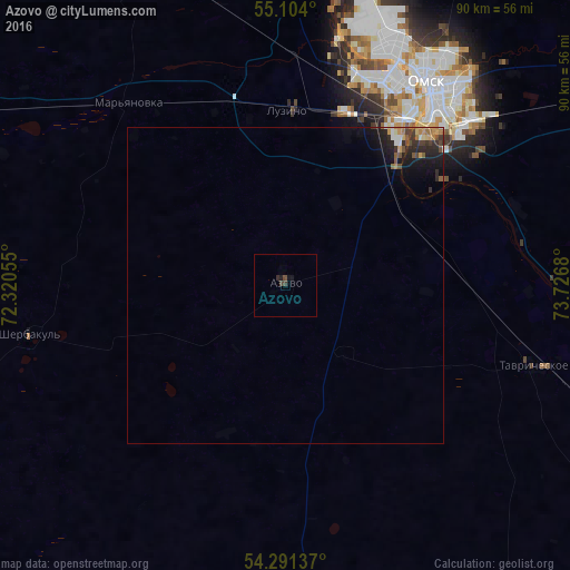
Analysis of Azovo night lights 2016
Square area 10x10 km:
 0%
0%90-99
0%80-89
0%70-79
0%60-69
0%50-59
0.13%40-49
0.63%30-39
0.75%20-29
0.5%10-19
1.25%0-9
96.74%Square area 50x50 km:
0.07%90-99
0.09%80-89
0.09%70-79
0.15%60-69
0.17%50-59
0.2%40-49
0.2%30-39
0.25%20-29
0.55%10-19
1.03%0-9
97.2%Clear (daylight) street map image can be seen on geolist.org.
Map coordinates:
55° 6' 14.4" North, 72° 19' 14" East
54° 41' 59" North, 73° 1' 25.2" East
54° 17' 28.9" North, 73° 43' 36.5" East
Some cities around Azovo sort by population:
• Omsk
39.3 km =24.4 mi,  34°
34°
• Tavricheskoye
41.6 km =25.8 mi,  107°
107°
• Lyubinskiy
54.8 km =34.1 mi,  337°
337°
• Luzino
27.6 km =17.1 mi,  1°
1°
• Beregovoy
54.1 km =33.6 mi,  13°
13°
• Vkhodnoy
29.6 km =18.4 mi,  18°
18°
• Sherbakul’
41 km =25.5 mi,  259°
259°
• Odesskoye
54 km =33.6 mi,  184°
184°
1511135 (p: 5,311)
Sources (retrieved 2019-11-25):
» Earth at Night: Flat Maps 2012, 2016