Pochep night lights from space
Night Light of Pochep (Bryansk Oblast) from space (Russia) Src. Average luminocity for 10x10km area is 0.8995% and for 50x50km: 0.0429%.
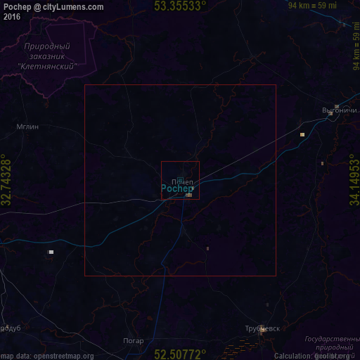
Analysis of Pochep night lights 2016
Square area 10x10 km:
 0%
0%90-99
0%80-89
0%70-79
0%60-69
0%50-59
0.4%40-49
0.66%30-39
1.06%20-29
0%10-19
0%0-9
97.88%Square area 50x50 km:
0%90-99
0%80-89
0%70-79
0%60-69
0%50-59
0.02%40-49
0.03%30-39
0.04%20-29
0.02%10-19
0%0-9
99.9%Clear (daylight) street map image can be seen on geolist.org.
Map coordinates:
53° 21' 19.2" North, 32° 44' 35.8" East
52° 56' 1" North, 33° 26' 47" East
52° 30' 27.8" North, 34° 8' 58.3" East
Some cities around Pochep sort by population:
• Unecha
52.7 km =32.7 mi,  259°
259°
• Starodub
60.2 km =37.4 mi,  229°
229°
• Trubchevsk
44.8 km =27.8 mi,  151°
151°
• Kletnya
53 km =32.9 mi,  343°
343°
• Pogar
44.1 km =27.4 mi,  196°
196°
• Mglin
42.4 km =26.3 mi,  289°
289°
• Rzhanitsa
63.5 km =39.5 mi,  29°
29°
• Vygonichi
45.4 km =28.2 mi,  66°
66°
508656 (p: 15,100)
Sources (retrieved 2019-11-25):
» Earth at Night: Flat Maps 2012, 2016