Oktyabr’sk night lights from space
Night Light of Oktyabr’sk (Samara Oblast) from space (Russia) Src. Average luminocity for 10x10km area is 8.9129% and for 50x50km: 5.0732%.
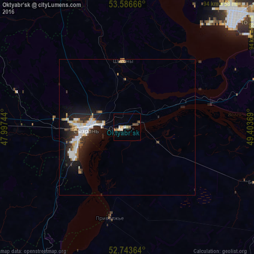
Analysis of Oktyabr’sk night lights 2016
Square area 10x10 km:
 0.76%
0.76%90-99
1.77%80-89
0.51%70-79
2.4%60-69
0.63%50-59
1.39%40-49
1.77%30-39
0.88%20-29
0%10-19
0%0-9
89.9%Square area 50x50 km:
1.08%90-99
1.09%80-89
0.36%70-79
0.47%60-69
0.43%50-59
0.46%40-49
0.49%30-39
0.51%20-29
1.82%10-19
3.62%0-9
89.68%Clear (daylight) street map image can be seen on geolist.org.
Map coordinates:
53° 35' 12" North, 47° 59' 50.8" East
53° 10' 2" North, 48° 42' 2" East
52° 44' 37.1" North, 49° 24' 13.3" East
Some cities around Oktyabr’sk sort by population:
• Tol’yatti
58.9 km =36.6 mi,  46°
46°
• Syzran’
15.5 km =9.6 mi,  266°
266°
• Chapayevsk
70.6 km =43.9 mi,  107°
107°
• Zhigulevsk
58.8 km =36.5 mi,  63°
63°
• Bezenchuk
53.1 km =33 mi, 112°
• Novospasskoye
63.3 km =39.3 mi, 267°
• Obsharovka
11.2 km =7 mi, 114°
• Shigony
24.5 km =15.2 mi,  356°
356°
515938 (p: 26,478)
Sources (retrieved 2019-11-25):
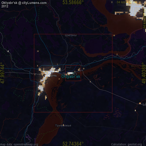
» Earth at Night: Flat Maps 2012, 2016