Novoshakhtinsk night lights from space
Night Light of Novoshakhtinsk (Rostov) from space (Russia) Src. Average luminocity for 10x10km area is 21.9509% and for 50x50km: 5.8261%.
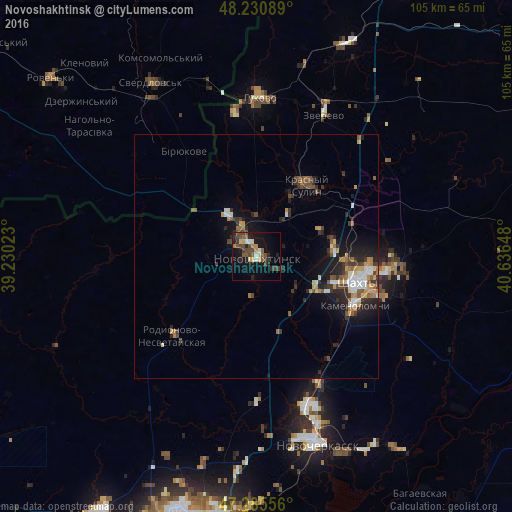
Analysis of Novoshakhtinsk night lights 2016
Square area 10x10 km:
 1.19%
1.19%90-99
2.23%80-89
2.53%70-79
2.98%60-69
1.34%50-59
4.46%40-49
7.74%30-39
3.72%20-29
7.14%10-19
17.11%0-9
49.55%Square area 50x50 km:
0.63%90-99
0.75%80-89
0.37%70-79
0.96%60-69
0.66%50-59
0.87%40-49
1%30-39
1.26%20-29
1.96%10-19
3.86%0-9
87.69%Clear (daylight) street map image can be seen on geolist.org.
Map coordinates:
48° 13' 51.2" North, 39° 13' 48.8" East
47° 45' 37.3" North, 39° 56' 0.1" East
47° 17' 8" North, 40° 38' 11.3" East
Some cities around Novoshakhtinsk sort by population:
• Shakhty
21.8 km =13.5 mi,  105°
105°
• Krasnyy Sulin
17.9 km =11.1 mi,  34°
34°
• Kamenolomni
22.8 km =14.2 mi,  116°
116°
• Mayskiy
14.5 km =9 mi, 119°
• Ayutinskiy
16.2 km =10.1 mi,  81°
81°
• Sokolovo-Kundryuchenskiy
8.4 km =5.2 mi,  7°
7°
• Talovyy
14.2 km =8.8 mi,  68°
68°
• Sambek
7.9 km =4.9 mi,  255°
255°
517963 (p: 99,478)
Sources (retrieved 2019-11-25):
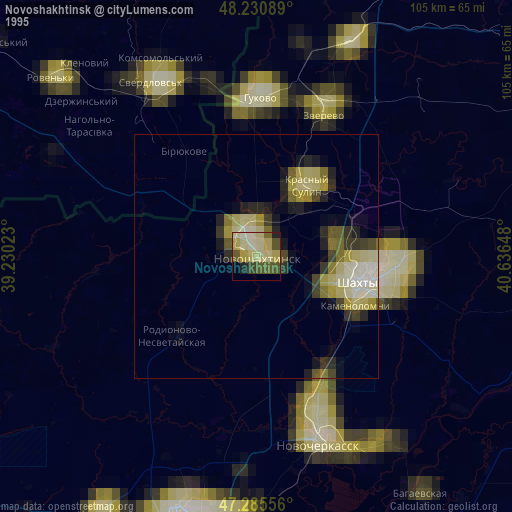
» NASA, Earths city lights 1995
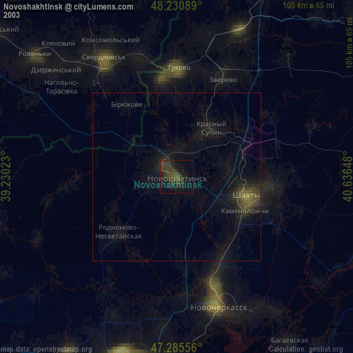
» NASA city lights 2003
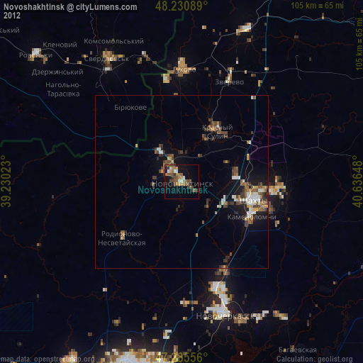
» Earth at Night: Flat Maps 2012, 2016