Krasnyy Sulin night lights from space
Night Light of Krasnyy Sulin (Rostov) from space (Russia) Src. Average luminocity for 10x10km area is 8.4233% and for 50x50km: 7.2736%.
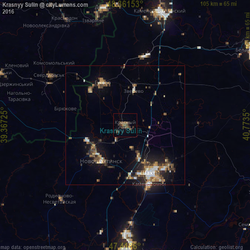
Analysis of Krasnyy Sulin night lights 2016
Square area 10x10 km:
 0%
0%90-99
0%80-89
0%70-79
0%60-69
0.99%50-59
3.84%40-49
3.69%30-39
3.84%20-29
3.13%10-19
2.84%0-9
81.68%Square area 50x50 km:
0.67%90-99
0.92%80-89
0.56%70-79
1.05%60-69
0.96%50-59
1.19%40-49
1.43%30-39
1.61%20-29
2.22%10-19
4.16%0-9
85.22%Clear (daylight) street map image can be seen on geolist.org.
Map coordinates:
48° 21' 41.5" North, 39° 22' 2.1" East
47° 53' 32" North, 40° 4' 13.3" East
47° 25' 7" North, 40° 46' 24.6" East
Some cities around Krasnyy Sulin sort by population:
• Shakhty
23 km =14.3 mi,  152°
152°
• Novoshakhtinsk
17.9 km =11.1 mi,  214°
214°
• Gukovo
21.4 km =13.3 mi,  332°
332°
• Zverevo
14.9 km =9.3 mi,  15°
15°
• Mayskiy
21.9 km =13.6 mi,  173°
173°
• Ayutinskiy
13.5 km =8.4 mi, 154°
• Sokolovo-Kundryuchenskiy
11.2 km =7 mi,  235°
235°
• Talovyy
9.8 km =6.1 mi,  162°
162°
541404 (p: 44,133)
Sources (retrieved 2019-11-25):
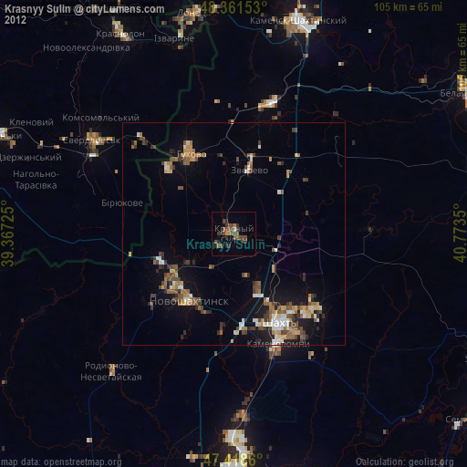
» Earth at Night: Flat Maps 2012, 2016