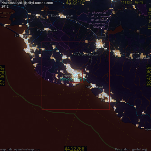
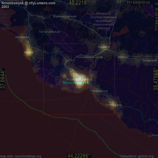
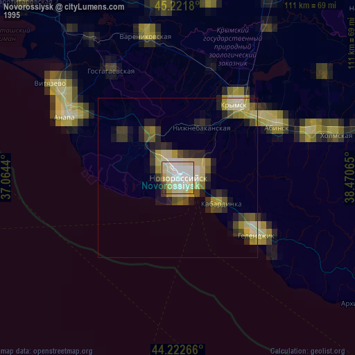
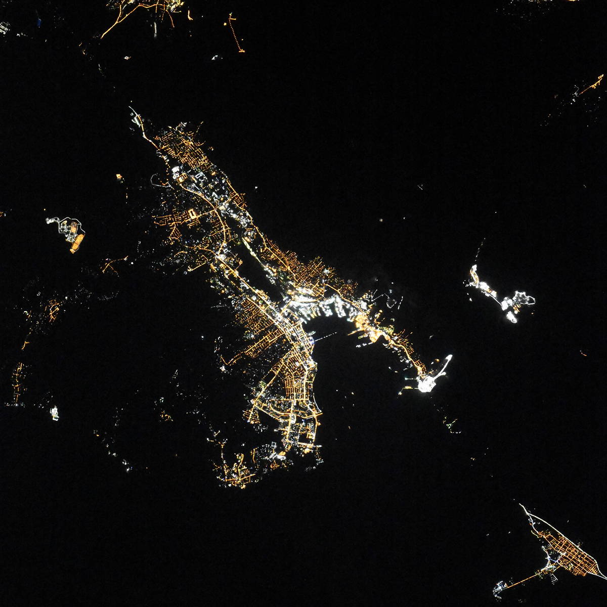
Novorossiysk night lights from space
Night Light of Novorossiysk (Krasnodarskiy) from space (Russia) Src. Average luminocity for 10x10km area is 66.7167% and for 50x50km: 11.2484%.
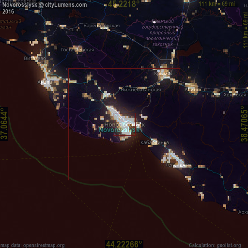
Analysis of Novorossiysk night lights 2016
Square area 10x10 km:
 24.09%
90-99
22.88%80-89
1.97%70-79
5.15%60-69
2.73%50-59
4.09%40-49
2.42%30-39
11.67%20-29
20%10-19
4.7%0-9
0.3%Square area 50x50 km:
1.96%90-99
2.51%80-89
0.97%70-79
1.02%60-69
1.05%50-59
0.96%40-49
0.87%30-39
1.36%20-29
3.39%10-19
8.79%0-9
77.13%Clear (daylight) street map image can be seen on geolist.org.
Map coordinates:
45° 13' 18.5" North, 37° 3' 51.8" East
44° 43' 27.8" North, 37° 46' 3.1" East
44° 13' 21.6" North, 38° 28' 14.3" East
Fantastic image of Novorossiysk from space taken by astronauts [src2], but I don't have information about it's orientation, scale or angle. If necessary, it was rotated manually, so North points approximately to upper direction. Click to zoom in:
Some cities around Novorossiysk sort by population:
• Krymsk
28.8 km =17.9 mi,  37°
37°
• Gelendzhik
30.9 km =19.2 mi,  125°
125°
• Abinsk
34.7 km =21.6 mi,  62°
62°
• Rayevskaya
20.8 km =12.9 mi,  306°
306°
• Myskhako
7.3 km =4.5 mi,  180°
180°
• Kabardinka
16.1 km =10 mi,  120°
120°
• Gayduk
8.6 km =5.3 mi,  321°
321°
• Verkhnebakanskiy
16.4 km =10.2 mi,  327°
327°
518255 (p: 241,856)
Sources (retrieved 2019-11-25):
» NASA, Earths city lights 1995
» NASA city lights 2003
» Earth at Night: Flat Maps 2012, 2016
Src.2: picture by Oleg Kononenko,ĀRoscosmos, retrieved 2019-11-29