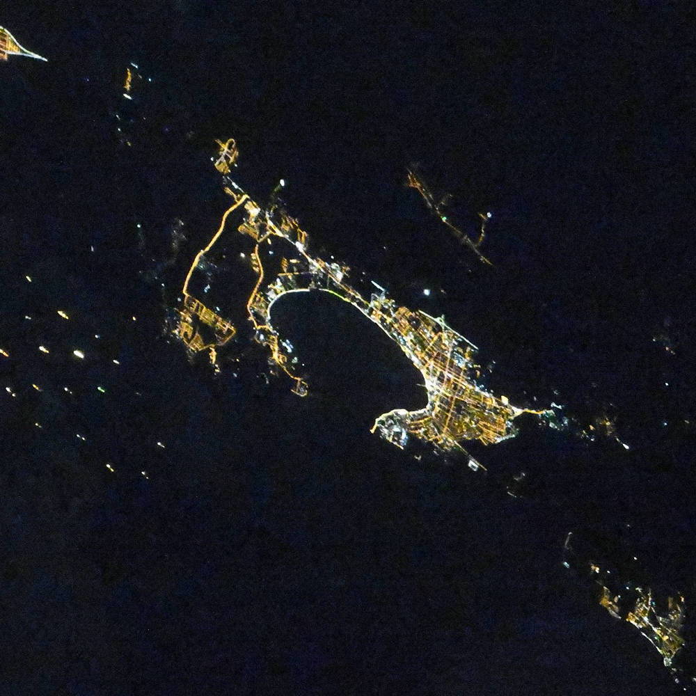
Gelendzhik night lights from space
Night Light of Gelendzhik (Krasnodarskiy) from space (Russia) Src. Average luminocity for 10x10km area is 36.7773% and for 50x50km: 6.097%.
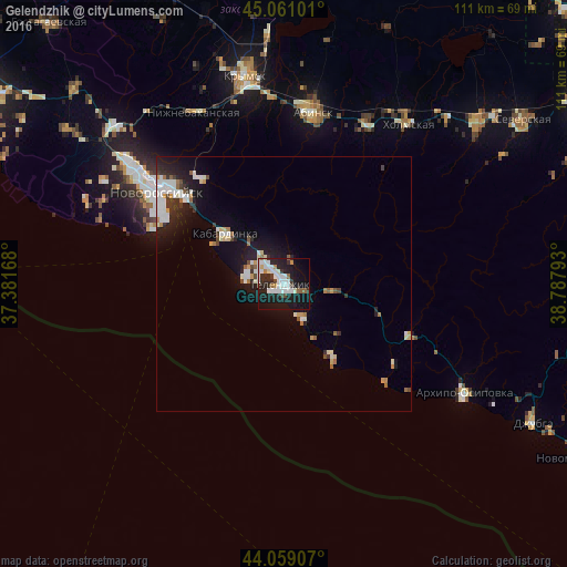
Analysis of Gelendzhik night lights 2016
Square area 10x10 km:
 10%
10%90-99
10.45%80-89
1.21%70-79
2.42%60-69
1.52%50-59
2.42%40-49
1.52%30-39
4.24%20-29
14.39%10-19
35.61%0-9
16.21%Square area 50x50 km:
1.18%90-99
1.55%80-89
0.35%70-79
0.48%60-69
0.49%50-59
0.46%40-49
0.43%30-39
0.72%20-29
1.71%10-19
4.96%0-9
87.66%Clear (daylight) street map image can be seen on geolist.org.
Map coordinates:
45° 3' 39.6" North, 37° 22' 54" East
44° 33' 43.9" North, 38° 5' 5.3" East
44° 3' 32.7" North, 38° 47' 16.5" East
Fantastic image of Gelendzhik from space taken by astronauts [src2], but I don't have information about it's orientation, scale or angle. If necessary, it was rotated manually, so North points approximately to upper direction. Click to zoom in:
Some cities around Gelendzhik sort by population:
• Novorossiysk
30.9 km =19.2 mi,  305°
305°
• Abinsk
34.5 km =21.4 mi,  9°
9°
• Akhtyrskiy
36.8 km =22.9 mi,  27°
27°
• Kholmskiy
39.6 km =24.6 mi,  36°
36°
• Myskhako
27.4 km =17 mi,  293°
293°
• Kabardinka
15 km =9.3 mi, 311°
• Gayduk
39.2 km =24.4 mi, 309°
• Divnomorskoye
7.8 km =4.8 mi,  149°
149°
561667 (p: 50,715)
Sources (retrieved 2019-11-25):
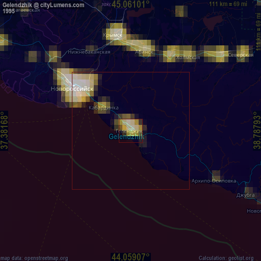
» NASA, Earths city lights 1995
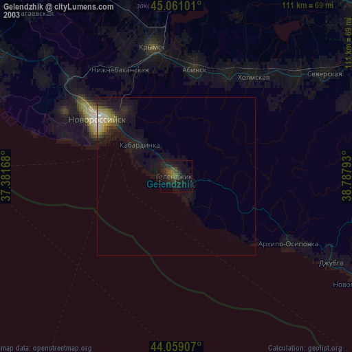
» NASA city lights 2003
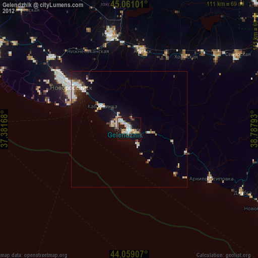
» Earth at Night: Flat Maps 2012, 2016
Src.2: picture by Oleg Kononenko,ĀRoscosmos, retrieved 2019-11-29