Nizhnyaya Salda night lights from space
Night Light of Nizhnyaya Salda (Sverdlovsk) from space (Russia) Src. Average luminocity for 10x10km area is 3.5807% and for 50x50km: 0.5364%.
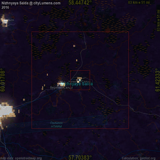
Analysis of Nizhnyaya Salda night lights 2016
Square area 10x10 km:
 0.11%
0.11%90-99
0.68%80-89
0.57%70-79
0%60-69
0%50-59
2.05%40-49
1.02%30-39
0.11%20-29
0.45%10-19
0.45%0-9
94.55%Square area 50x50 km:
0.04%90-99
0.1%80-89
0.02%70-79
0.07%60-69
0.07%50-59
0.17%40-49
0.05%30-39
0.09%20-29
0.1%10-19
0.03%0-9
99.26%Clear (daylight) street map image can be seen on geolist.org.
Map coordinates:
58° 26' 50.7" North, 60° 1' 1.5" East
58° 4' 39.2" North, 60° 43' 12.7" East
57° 42' 13.8" North, 61° 25' 24" East
Some cities around Nizhnyaya Salda sort by population:
• Verkhnyaya Salda
10 km =6.2 mi,  251°
251°
• Alapayevsk
62.8 km =39 mi,  113°
113°
• Kushva
61.1 km =38 mi,  292°
292°
• Krasnoural’sk
51 km =31.7 mi,  308°
308°
• Baranchinskiy
60.7 km =37.7 mi,  278°
278°
• Verkhnyaya Sinyachikha
56.9 km =35.4 mi,  101°
101°
• Verkhnyaya Tura
62.1 km =38.6 mi,  300°
300°
• Svobodnyy
19.5 km =12.1 mi,  257°
257°
1497393 (p: 17,473)
Sources (retrieved 2019-11-25):
» Earth at Night: Flat Maps 2012, 2016