Krasnoural’sk night lights from space
Night Light of Krasnoural’sk (Sverdlovsk) from space (Russia) Src. Average luminocity for 10x10km area is 11.712% and for 50x50km: 0.9515%.
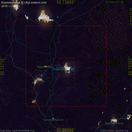
Analysis of Krasnoural’sk night lights 2016
Square area 10x10 km:
 2.04%
2.04%90-99
1.7%80-89
0.34%70-79
1.36%60-69
1.13%50-59
2.38%40-49
2.27%30-39
2.83%20-29
0.45%10-19
3.97%0-9
81.52%Square area 50x50 km:
0.08%90-99
0.09%80-89
0.05%70-79
0.09%60-69
0.08%50-59
0.19%40-49
0.32%30-39
0.31%20-29
0.05%10-19
0.22%0-9
98.53%Clear (daylight) street map image can be seen on geolist.org.
Map coordinates:
58° 43' 50.4" North, 59° 20' 15.3" East
58° 21' 49.7" North, 60° 2' 26.5" East
57° 59' 35" North, 60° 44' 37.8" East
Some cities around Krasnoural’sk sort by population:
• Verkhnyaya Salda
46.4 km =28.8 mi,  139°
139°
• Kachkanar
49.4 km =30.7 mi,  319°
319°
• Kushva
18.3 km =11.4 mi,  243°
243°
• Lesnoy
33.4 km =20.8 mi,  335°
335°
• Nizhnyaya Tura
32.4 km =20.1 mi, 335°
• Baranchinskiy
30.1 km =18.7 mi,  221°
221°
• Verkhnyaya Tura
13.7 km =8.5 mi,  268°
268°
• Svobodnyy
41.6 km =25.8 mi,  149°
149°
1502060 (p: 27,257)
Sources (retrieved 2019-11-25):
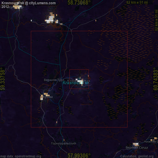
» Earth at Night: Flat Maps 2012, 2016