Toropets night lights from space
Night Light of Toropets (Tver’ Oblast) from space (Russia) Src. Average luminocity for 10x10km area is 0% and for 50x50km: 0%.
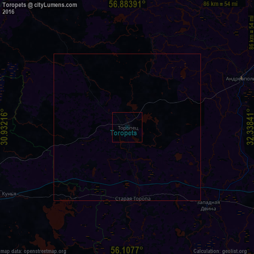
Analysis of Toropets night lights 2016
Square area 10x10 km:
 0%
0%90-99
0%80-89
0%70-79
0%60-69
0%50-59
0%40-49
0%30-39
0%20-29
0%10-19
0%0-9
100%Square area 50x50 km:
0%90-99
0%80-89
0%70-79
0%60-69
0%50-59
0%40-49
0%30-39
0%20-29
0%10-19
0%0-9
100%Clear (daylight) street map image can be seen on geolist.org.
Map coordinates:
56° 53' 2.1" North, 30° 55' 55.8" East
56° 29' 52" North, 31° 38' 7" East
56° 6' 27.7" North, 32° 20' 18.3" East
Some cities around Toropets sort by population:
• Velikiye Luki
69.3 km =43.1 mi,  255°
255°
• Nelidovo
76.8 km =47.7 mi,  113°
113°
• Zapadnaya Dvina
37.9 km =23.5 mi,  134°
134°
• Andreapol’
42.3 km =26.3 mi,  66°
66°
• Novosokol’niki
92.4 km =57.4 mi, 259°
• Velizh
102.9 km =63.9 mi,  195°
195°
• Ozërnyy
112.9 km =70.2 mi,  154°
154°
• Peno
82.7 km =51.4 mi,  54°
54°
482042 (p: 14,187)
Sources (retrieved 2019-11-25):
» Earth at Night: Flat Maps 2012, 2016