Peno night lights from space
Night Light of Peno (Tver’ Oblast) from space (Russia) Src. Average luminocity for 10x10km area is 0.3205% and for 50x50km: 0.0889%.
Analysis of Peno night lights 2016
Square area 10x10 km:
 0%
0%90-99
0%80-89
0%70-79
0%60-69
0%50-59
0%40-49
0%30-39
0.45%20-29
0.45%10-19
0.45%0-9
98.64%Square area 50x50 km:
0%90-99
0%80-89
0%70-79
0%60-69
0.02%50-59
0.03%40-49
0.02%30-39
0.06%20-29
0.08%10-19
0.02%0-9
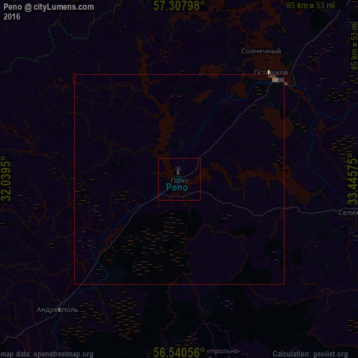
99.77%Clear (daylight) street map image can be seen on geolist.org.
Map coordinates:
57° 18' 28.7" North, 32° 2' 22.2" East
56° 55' 34.5" North, 32° 44' 33.4" East
56° 32' 26" North, 33° 26' 44.7" East
Some cities around Peno sort by population:
• Nelidovo
78.4 km =48.7 mi,  178°
178°
• Ostashkov
33 km =20.5 mi,  42°
42°
• Toropets
82.7 km =51.4 mi,  234°
234°
• Kuvshinovo
87.4 km =54.3 mi,  82°
82°
• Zapadnaya Dvina
84.7 km =52.6 mi,  208°
208°
• Andreapol’
42.1 km =26.2 mi,  223°
223°
• Selizharovo
43.7 km =27.2 mi,  100°
100°
• Demyansk
81.4 km =50.6 mi,  348°
348°
511592 (p: 5,187)
Sources (retrieved 2019-11-25):
» Earth at Night: Flat Maps 2012, 2016