Balakhta night lights from space
Night Light of Balakhta (Krasnoyarskiy) from space (Russia) Src. Average luminocity for 10x10km area is 2.7045% and for 50x50km: 0.1582%.
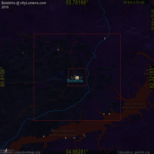
Analysis of Balakhta night lights 2016
Square area 10x10 km:
 0%
0%90-99
0%80-89
0%70-79
1.44%60-69
0.48%50-59
0.48%40-49
0.6%30-39
0.96%20-29
0.36%10-19
0%0-9
95.69%Square area 50x50 km:
0%90-99
0%80-89
0%70-79
0.06%60-69
0.02%50-59
0.07%40-49
0.05%30-39
0.04%20-29
0.01%10-19
0.02%0-9
99.73%Clear (daylight) street map image can be seen on geolist.org.
Map coordinates:
55° 46' 54" North, 90° 54' 56.2" East
55° 23' 3.3" North, 91° 37' 7.4" East
54° 58' 58.1" North, 92° 19' 18.7" East
Some cities around Balakhta sort by population:
• Krasnoyarsk
105.3 km =65.4 mi,  47°
47°
• Nazarovo
103.3 km =64.2 mi,  312°
312°
• Divnogorsk
79.4 km =49.3 mi,  36°
36°
• Uzhur
113.2 km =70.3 mi,  265°
265°
• Yemel’yanovo
109.3 km =67.9 mi, 37°
• Solnechnyy
115.3 km =71.6 mi, 45°
• Zykovo
115.7 km =71.9 mi,  56°
56°
• Kedrovyy
100 km =62.1 mi,  357°
357°
1510998 (p: 7,721)
Sources (retrieved 2019-11-25):
» Earth at Night: Flat Maps 2012, 2016