Millerovo night lights from space
Night Light of Millerovo (Rostov) from space (Russia) Src. Average luminocity for 10x10km area is 16.0938% and for 50x50km: 1.1228%.
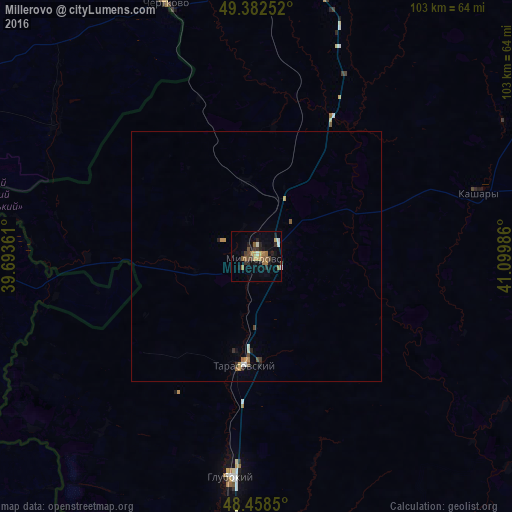
Analysis of Millerovo night lights 2016
Square area 10x10 km:
 0.28%
0.28%90-99
1.99%80-89
1.42%70-79
2.27%60-69
3.98%50-59
2.56%40-49
2.41%30-39
2.7%20-29
4.69%10-19
6.25%0-9
71.45%Square area 50x50 km:
0.04%90-99
0.15%80-89
0.1%70-79
0.19%60-69
0.21%50-59
0.15%40-49
0.21%30-39
0.19%20-29
0.25%10-19
0.28%0-9
98.23%Clear (daylight) street map image can be seen on geolist.org.
Map coordinates:
49° 22' 57.1" North, 39° 41' 37" East
48° 55' 21.5" North, 40° 23' 48.2" East
48° 27' 30.6" North, 41° 5' 59.5" East
Some cities around Millerovo sort by population:
• Glubokiy
44.2 km =27.5 mi,  186°
186°
• Chertkovo
54.5 km =33.9 mi,  340°
340°
• Tarasovskiy
21.9 km =13.6 mi, 186°
• Masalovka
58.6 km =36.4 mi, 189°
• Bilovods'k, UA
66.8 km =41.5 mi,  298°
298°
• Staraya Stanitsa
64.6 km =40.1 mi, 186°
• Kashary
46.3 km =28.8 mi,  73°
73°
• Milove, UA
53.9 km =33.5 mi, 339°
526558 (p: 38,527)
Sources (retrieved 2019-11-25):
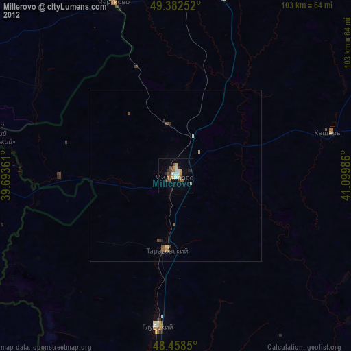
» Earth at Night: Flat Maps 2012, 2016