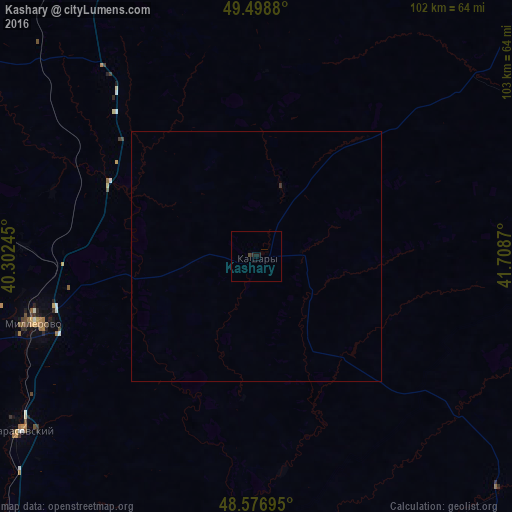
Kashary night lights from space
Night Light of Kashary (Rostov) from space (Russia) Src. Average luminocity for 10x10km area is 0.6057% and for 50x50km: 0.0314%.
Analysis of Kashary night lights 2016
Square area 10x10 km:
 0%
0%90-99
0%80-89
0%70-79
0%60-69
0%50-59
0%40-49
0.6%30-39
0%20-29
0.6%10-19
1.19%0-9
97.62%Square area 50x50 km:
0%90-99
0%80-89
0%70-79
0%60-69
0%50-59
0%40-49
0.02%30-39
0.02%20-29
0.02%10-19
0.05%0-9
99.89%Clear (daylight) street map image can be seen on geolist.org.
Map coordinates:
49° 29' 55.7" North, 40° 18' 8.8" East
49° 2' 24" North, 41° 0' 20.1" East
48° 34' 37" North, 41° 42' 31.3" East
Some cities around Kashary sort by population:
• Millerovo
46.3 km =28.8 mi,  253°
253°
• Glubokiy
75.4 km =46.9 mi,  220°
220°
• Chertkovo
73.2 km =45.5 mi,  301°
301°
• Veshenskaya
84.2 km =52.3 mi,  38°
38°
• Gornyatskiy
82.9 km =51.5 mi,  184°
184°
• Tarasovskiy
58.5 km =36.4 mi,  233°
233°
• Milove, UA
73.6 km =45.7 mi, 300°
• Bokovskaya
63.6 km =39.5 mi,  70°
70°
552006 (p: 6,292)
Sources (retrieved 2019-11-25):
» Earth at Night: Flat Maps 2012, 2016