Mikhaylovsk night lights from space
Night Light of Mikhaylovsk (Stavropol’ Kray) from space (Russia) Src. Average luminocity for 10x10km area is 34.6242% and for 50x50km: 7.0794%.
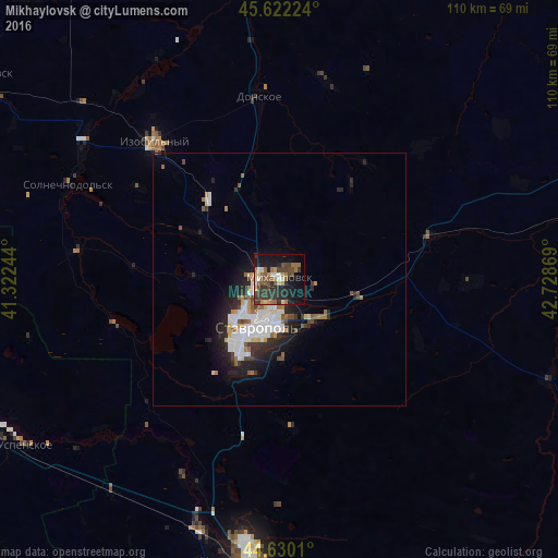
Analysis of Mikhaylovsk night lights 2016
Square area 10x10 km:
 1.97%
1.97%90-99
4.7%80-89
3.03%70-79
3.64%60-69
6.52%50-59
6.36%40-49
9.85%30-39
11.82%20-29
10.15%10-19
26.21%0-9
15.76%Square area 50x50 km:
1.49%90-99
1.54%80-89
0.49%70-79
0.52%60-69
0.87%50-59
0.77%40-49
0.94%30-39
0.97%20-29
2.27%10-19
4.09%0-9
86.05%Clear (daylight) street map image can be seen on geolist.org.
Map coordinates:
45° 37' 20.1" North, 41° 19' 20.8" East
45° 7' 42" North, 42° 1' 32" East
44° 37' 48.4" North, 42° 43' 43.3" East
Some cities around Mikhaylovsk sort by population:
• Stavropol’
10.4 km =6.5 mi,  203°
203°
• Izobil’nyy
36.7 km =22.8 mi,  317°
317°
• Donskoye
36.6 km =22.7 mi,  353°
353°
• Ryzdvyanyy
21.1 km =13.1 mi, 316°
• Pelagiada
8.7 km =5.4 mi,  358°
358°
• Trunovskoye
40.9 km =25.4 mi,  12°
12°
• Tatarka
19.7 km =12.2 mi, 197°
• Moskovskoye
19.5 km =12.1 mi,  332°
332°
493702 (p: 59,198)
Sources (retrieved 2019-11-25):
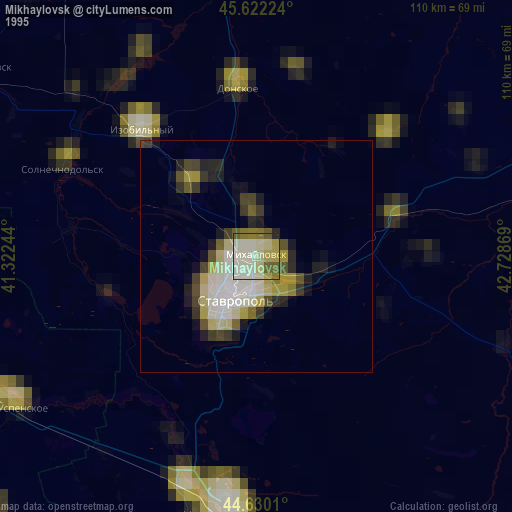
» NASA, Earths city lights 1995
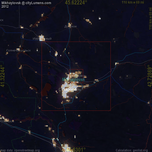
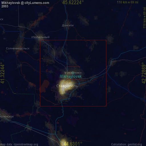
» NASA city lights 2003
» Earth at Night: Flat Maps 2012, 2016