Izobil’nyy night lights from space
Night Light of Izobil’nyy (Stavropol’ Kray) from space (Russia) Src. Average luminocity for 10x10km area is 13.0365% and for 50x50km: 1.3812%.
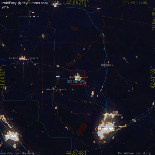
Analysis of Izobil’nyy night lights 2016
Square area 10x10 km:
 0.79%
0.79%90-99
0.48%80-89
0.63%70-79
1.75%60-69
5.56%50-59
3.81%40-49
1.27%30-39
1.43%20-29
0.79%10-19
2.22%0-9
81.27%Square area 50x50 km:
0.12%90-99
0.13%80-89
0.06%70-79
0.15%60-69
0.38%50-59
0.23%40-49
0.15%30-39
0.24%20-29
0.25%10-19
0.84%0-9
97.45%Clear (daylight) street map image can be seen on geolist.org.
Map coordinates:
45° 51' 45.8" North, 41° 0' 19" East
45° 22' 15.3" North, 41° 42' 30.2" East
44° 52' 29.3" North, 42° 24' 41.5" East
Some cities around Izobil’nyy sort by population:
• Mikhaylovsk
36.7 km =22.8 mi,  137°
137°
• Donskoye
22.8 km =14.2 mi,  65°
65°
• Novotroitskaya
15.1 km =9.4 mi,  251°
251°
• Ryzdvyanyy
15.5 km =9.6 mi, 138°
• Bezopasnoye
35.6 km =22.1 mi,  29°
29°
• Pelagiada
30.7 km =19.1 mi,  126°
126°
• Trunovskoye
35.8 km =22.2 mi, 68°
• Moskovskoye
18.5 km =11.5 mi,  121°
121°
554770 (p: 39,022)
Sources (retrieved 2019-11-25):
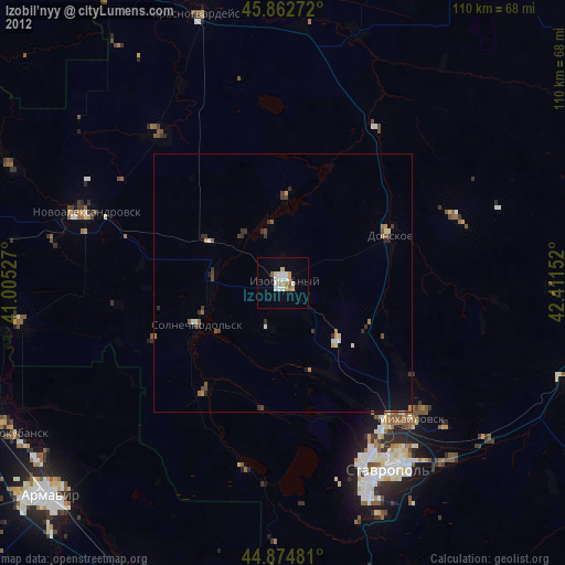
» Earth at Night: Flat Maps 2012, 2016