Trunovskoye night lights from space
Night Light of Trunovskoye (Stavropol’ Kray) from space (Russia) Src. Average luminocity for 10x10km area is 0.873% and for 50x50km: 0.376%.
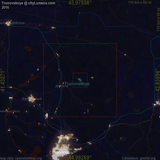
Analysis of Trunovskoye night lights 2016
Square area 10x10 km:
 0%
0%90-99
0%80-89
0%70-79
0%60-69
0%50-59
0%40-49
0.32%30-39
0.95%20-29
1.27%10-19
0%0-9
97.46%Square area 50x50 km:
0.04%90-99
0.05%80-89
0.03%70-79
0.02%60-69
0.07%50-59
0.02%40-49
0.1%30-39
0.11%20-29
0.21%10-19
0.05%0-9
99.3%Clear (daylight) street map image can be seen on geolist.org.
Map coordinates:
45° 58' 42.8" North, 41° 25' 57.8" East
45° 29' 16" North, 42° 8' 9" East
44° 59' 33.7" North, 42° 50' 20.3" East
Some cities around Trunovskoye sort by population:
• Mikhaylovsk
40.9 km =25.4 mi,  192°
192°
• Izobil’nyy
35.8 km =22.2 mi,  248°
248°
• Donskoye
13.1 km =8.1 mi, 253°
• Ryzdvyanyy
33.9 km =21.1 mi,  223°
223°
• Bezopasnoye
23.7 km =14.7 mi,  318°
318°
• Pelagiada
32.5 km =20.2 mi,  195°
195°
• Moskovskoye
28.7 km =17.8 mi, 217°
• Blagodatnoye
36.5 km =22.7 mi,  105°
105°
481181 (p: 6,459)
Sources (retrieved 2019-11-25):
» Earth at Night: Flat Maps 2012, 2016