Mezhdurechenskiy night lights from space
Night Light of Mezhdurechenskiy (Khanty-Mansia) from space (Russia) Src. Average luminocity for 10x10km area is 15.7857% and for 50x50km: 0.7016%.
Analysis of Mezhdurechenskiy night lights 2016
Square area 10x10 km:
 4.31%
4.31%90-99
3.85%80-89
0.91%70-79
1.13%60-69
0.91%50-59
1.36%40-49
0.68%30-39
1.36%20-29
0.45%10-19
17.12%0-9
67.91%Square area 50x50 km:
0.16%90-99
0.15%80-89
0.03%70-79
0.04%60-69
0.05%50-59
0.08%40-49
0.05%30-39
0.05%20-29
0.02%10-19
0.68%0-9
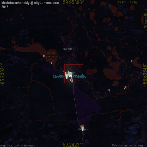
98.68%Clear (daylight) street map image can be seen on geolist.org.
Map coordinates:
59° 57' 14.1" North, 65° 13' 48.8" East
59° 36' 0" North, 65° 55' 60" East
59° 14' 32.3" North, 66° 38' 11.3" East
Some cities around Mezhdurechenskiy sort by population:
• Tobol’sk
205.1 km =127.4 mi,  139°
139°
• Uray
86.9 km =54 mi,  312°
312°
• Tavda
177.3 km =110.2 mi,  192°
192°
• Turinsk
215.5 km =133.9 mi,  216°
216°
• Abalak
224 km =139.2 mi, 136°
• Nizhnyaya Tavda
214.7 km =133.4 mi,  176°
176°
• Turtas
196.1 km =121.9 mi,  112°
112°
• Gornopravdinsk
227.2 km =141.2 mi,  77°
77°
1498919 (p: 11,121)
Sources (retrieved 2019-11-25):
» Earth at Night: Flat Maps 2012, 2016