Malyye Derbety night lights from space
Night Light of Malyye Derbety (Kalmykiya Republic) from space (Russia) Src. Average luminocity for 10x10km area is 0% and for 50x50km: 0.0006%.
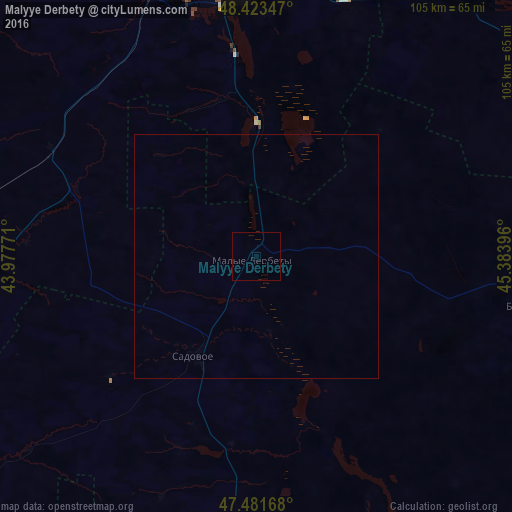
Analysis of Malyye Derbety night lights 2016
Square area 10x10 km:
 0%
0%90-99
0%80-89
0%70-79
0%60-69
0%50-59
0%40-49
0%30-39
0%20-29
0%10-19
0%0-9
100%Square area 50x50 km:
0%90-99
0%80-89
0%70-79
0%60-69
0%50-59
0%40-49
0%30-39
0%20-29
0%10-19
0%0-9
100%Clear (daylight) street map image can be seen on geolist.org.
Map coordinates:
48° 25' 24.5" North, 43° 58' 39.8" East
47° 57' 17" North, 44° 40' 51" East
47° 28' 54" North, 45° 23' 2.3" East
Some cities around Malyye Derbety sort by population:
• Volgograd
86 km =53.4 mi,  351°
351°
• Volzhskiy
92.7 km =57.6 mi,  4°
4°
• Leninsk
91.5 km =56.9 mi,  24°
24°
• Krasnoslobodsk
84 km =52.2 mi, 354°
• Srednyaya Akhtuba
85.1 km =52.9 mi,  9°
9°
• Svetlyy Yar
58.3 km =36.2 mi, 7°
• Novyy Rogachik
92.5 km =57.5 mi,  330°
330°
• Sadovoye
23.1 km =14.4 mi,  211°
211°
530196 (p: 5,822)
Sources (retrieved 2019-11-25):
» Earth at Night: Flat Maps 2012, 2016