Leninsk night lights from space
Night Light of Leninsk (Volgograd Oblast) from space (Russia) Src. Average luminocity for 10x10km area is 1.2574% and for 50x50km: 0.7513%.
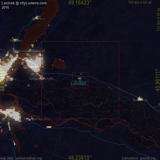
Analysis of Leninsk night lights 2016
Square area 10x10 km:
 0%
0%90-99
0%80-89
0%70-79
0%60-69
0%50-59
0%40-49
1.19%30-39
1.49%20-29
0.3%10-19
0.3%0-9
96.73%Square area 50x50 km:
0.04%90-99
0.07%80-89
0.03%70-79
0.02%60-69
0.05%50-59
0.15%40-49
0.21%30-39
0.25%20-29
0.37%10-19
0.92%0-9
97.9%Clear (daylight) street map image can be seen on geolist.org.
Map coordinates:
49° 9' 51.2" North, 44° 29' 41.5" East
48° 42' 8.4" North, 45° 11' 52.7" East
48° 14' 10.1" North, 45° 54' 4" East
Some cities around Leninsk sort by population:
• Volgograd
51.1 km =31.8 mi,  272°
272°
• Volzhskiy
32 km =19.9 mi,  286°
286°
• Znamensk
41.5 km =25.8 mi,  108°
108°
• Dubovka
47.9 km =29.8 mi,  325°
325°
• Krasnoslobodsk
45.6 km =28.3 mi, 270°
• Srednyaya Akhtuba
24.3 km =15.1 mi, 272°
• Svetlyy Yar
39.8 km =24.7 mi,  230°
230°
• Kapustin Yar
42.4 km =26.3 mi, 108°
536156 (p: 15,167)
Sources (retrieved 2019-11-25):
» Earth at Night: Flat Maps 2012, 2016