Srednyaya Akhtuba night lights from space
Night Light of Srednyaya Akhtuba (Volgograd Oblast) from space (Russia) Src. Average luminocity for 10x10km area is 12.1176% and for 50x50km: 11.1426%.
Analysis of Srednyaya Akhtuba night lights 2016
Square area 10x10 km:
 0.45%
0.45%90-99
0.6%80-89
0%70-79
0.89%60-69
2.08%50-59
2.98%40-49
3.87%30-39
2.23%20-29
7.14%10-19
13.1%0-9
66.67%Square area 50x50 km:
2.55%90-99
2.53%80-89
0.67%70-79
0.63%60-69
1.1%50-59
1.31%40-49
1.52%30-39
1.73%20-29
3.84%10-19
6.77%0-9
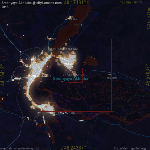
77.35%Clear (daylight) street map image can be seen on geolist.org.
Map coordinates:
49° 10' 18.5" North, 44° 9' 50.8" East
48° 42' 35.9" North, 44° 52' 2.1" East
48° 14' 37.9" North, 45° 34' 13.3" East
Some cities around Srednyaya Akhtuba sort by population:
• Volgograd
26.8 km =16.7 mi,  272°
272°
• Volzhskiy
10.6 km =6.6 mi,  322°
322°
• Gorodishche
30.7 km =19.1 mi,  290°
290°
• Dubovka
38.8 km =24.1 mi,  355°
355°
• Leninsk
24.3 km =15.1 mi,  92°
92°
• Krasnoslobodsk
21.3 km =13.2 mi, 269°
• Svetlyy Yar
26.9 km =16.7 mi,  193°
193°
• Gumrak
36.5 km =22.7 mi,  282°
282°
489446 (p: 13,887)
Sources (retrieved 2019-11-25):
» Earth at Night: Flat Maps 2012, 2016