Maksatikha night lights from space
Night Light of Maksatikha (Tver’ Oblast) from space (Russia) Src. Average luminocity for 10x10km area is 0.3318% and for 50x50km: 0.0134%.
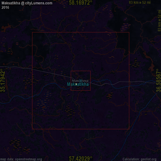
Analysis of Maksatikha night lights 2016
Square area 10x10 km:
 0%
0%90-99
0%80-89
0%70-79
0.23%60-69
0.23%50-59
0%40-49
0%30-39
0%20-29
0%10-19
0%0-9
99.55%Square area 50x50 km:
0%90-99
0%80-89
0%70-79
0.01%60-69
0.01%50-59
0%40-49
0%30-39
0%20-29
0%10-19
0%0-9
99.98%Clear (daylight) street map image can be seen on geolist.org.
Map coordinates:
58° 10' 11" North, 35° 10' 45.9" East
57° 47' 49" North, 35° 52' 57.1" East
57° 25' 13" North, 36° 35' 8.4" East
Some cities around Maksatikha sort by population:
• Vyshniy Volochëk
81.6 km =50.7 mi,  253°
253°
• Udomlya
53.5 km =33.2 mi,  279°
279°
• Bezhetsk
48.3 km =30 mi,  91°
91°
• Pestovo
88.7 km =55.1 mi,  356°
356°
• Likhoslavl’
78.5 km =48.8 mi,  198°
198°
• Spirovo
68.4 km =42.5 mi,  232°
232°
• Krasnyy Kholm
78.7 km =48.9 mi,  68°
68°
• Kalashnikovo
69.3 km =43.1 mi,  214°
214°
531979 (p: 9,441)
Sources (retrieved 2019-11-25):
» Earth at Night: Flat Maps 2012, 2016