Vyshniy Volochëk night lights from space
Night Light of Vyshniy Volochëk (Tver’ Oblast) from space (Russia) Src. Average luminocity for 10x10km area is 16.7702% and for 50x50km: 1.2001%.
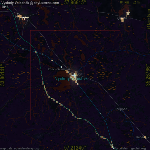
Analysis of Vyshniy Volochëk night lights 2016
Square area 10x10 km:
 0.83%
0.83%90-99
2.5%80-89
1.67%70-79
0.48%60-69
3.93%50-59
4.29%40-49
4.64%30-39
2.02%20-29
1.43%10-19
11.67%0-9
66.55%Square area 50x50 km:
0.03%90-99
0.12%80-89
0.07%70-79
0.03%60-69
0.19%50-59
0.38%40-49
0.44%30-39
0.34%20-29
0.18%10-19
0.62%0-9
97.58%Clear (daylight) street map image can be seen on geolist.org.
Map coordinates:
57° 57' 58.1" North, 33° 51' 41.1" East
57° 35' 28.5" North, 34° 33' 52.3" East
57° 12' 44.8" North, 35° 16' 3.6" East
Some cities around Vyshniy Volochëk sort by population:
• Torzhok
65.4 km =40.6 mi,  158°
158°
• Udomlya
40.9 km =25.4 mi,  38°
38°
• Bologoye
44.8 km =27.8 mi,  316°
316°
• Kuvshinovo
66.7 km =41.4 mi,  200°
200°
• Bologoye-4
64.2 km =39.9 mi,  302°
302°
• Spirovo
31.2 km =19.4 mi,  127°
127°
• Krasnomayskiy
9.7 km =6 mi,  288°
288°
• Kalashnikovo
52.4 km =32.6 mi, 130°
470252 (p: 53,800)
Sources (retrieved 2019-11-25):
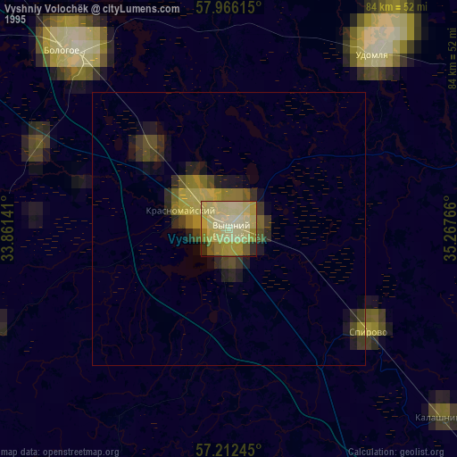
» NASA, Earths city lights 1995
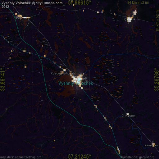
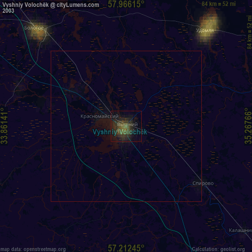
» NASA city lights 2003
» Earth at Night: Flat Maps 2012, 2016