Sokol’skoye night lights from space
Night Light of Sokol’skoye (Nizhny Novgorod Oblast) from space (Russia) Src. Average luminocity for 10x10km area is 0.1845% and for 50x50km: 0.31%.
Analysis of Sokol’skoye night lights 2016
Square area 10x10 km:
 0%
0%90-99
0%80-89
0%70-79
0%60-69
0%50-59
0%40-49
0%30-39
0.24%20-29
0.24%10-19
0%0-9
99.52%Square area 50x50 km:
0%90-99
0%80-89
0%70-79
0.02%60-69
0%50-59
0.01%40-49
0.02%30-39
0.41%20-29
0.43%10-19
0%0-9
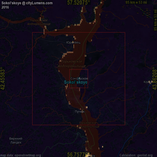
99.1%Clear (daylight) street map image can be seen on geolist.org.
Map coordinates:
57° 31' 14.7" North, 42° 27' 21" East
57° 8' 28.4" North, 43° 9' 32.2" East
56° 45' 27.9" North, 43° 51' 43.5" East
Some cities around Sokol’skoye sort by population:
• Kineshma
70.2 km =43.6 mi,  298°
298°
• Zavolzh’ye
57.5 km =35.7 mi,  165°
165°
• Gorodets
57.3 km =35.6 mi,  160°
160°
• Chkalovsk
41.9 km =26 mi, 172°
• Zavolzhsk
72.1 km =44.8 mi, 301°
• Yur’yevets
20.2 km =12.6 mi,  350°
350°
• Puchezh
18.1 km =11.2 mi,  178°
178°
• Kovernino
39.5 km =24.5 mi,  92°
92°
491145 (p: 6,474)
Sources (retrieved 2019-11-25):
» Earth at Night: Flat Maps 2012, 2016