Magnitka night lights from space
Night Light of Magnitka (Chelyabinsk) from space (Russia) Src. Average luminocity for 10x10km area is 2.3517% and for 50x50km: 2.1717%.
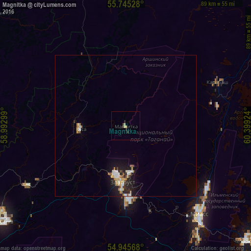
Analysis of Magnitka night lights 2016
Square area 10x10 km:
 0%
0%90-99
0%80-89
1.08%70-79
0.36%60-69
0%50-59
0%40-49
1.08%30-39
0.36%20-29
0.96%10-19
0%0-9
96.17%Square area 50x50 km:
0.29%90-99
0.44%80-89
0.24%70-79
0.29%60-69
0.23%50-59
0.2%40-49
0.18%30-39
0.1%20-29
0.76%10-19
1.82%0-9
95.44%Clear (daylight) street map image can be seen on geolist.org.
Map coordinates:
55° 44' 43" North, 58° 59' 34.8" East
55° 20' 51" North, 59° 41' 46" East
54° 56' 44.4" North, 60° 23' 57.3" East
Some cities around Magnitka sort by population:
• Zlatoust
19.8 km =12.3 mi,  188°
188°
• Miass
42.6 km =26.5 mi,  142°
142°
• Satka
53.7 km =33.4 mi,  230°
230°
• Chebarkul’
59.3 km =36.8 mi,  134°
134°
• Kusa
16.2 km =10.1 mi,  266°
266°
• Karabash
36 km =22.4 mi,  65°
65°
• Novobelokatay
61.4 km =38.2 mi,  310°
310°
• Berdyaush
40.5 km =25.2 mi,  239°
239°
532292 (p: 5,784)
Sources (retrieved 2019-11-25):
» Earth at Night: Flat Maps 2012, 2016