Chebarkul’ night lights from space
Night Light of Chebarkul’ (Chelyabinsk) from space (Russia) Src. Average luminocity for 10x10km area is 18.6579% and for 50x50km: 3.5493%.
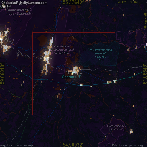
Analysis of Chebarkul’ night lights 2016
Square area 10x10 km:
 2.75%
2.75%90-99
3.59%80-89
1.67%70-79
3.11%60-69
2.75%50-59
2.03%40-49
2.27%30-39
0.24%20-29
0.24%10-19
18.06%0-9
63.28%Square area 50x50 km:
0.51%90-99
0.64%80-89
0.44%70-79
0.36%60-69
0.33%50-59
0.43%40-49
0.45%30-39
0.2%20-29
0.79%10-19
3.37%0-9
92.47%Clear (daylight) street map image can be seen on geolist.org.
Map coordinates:
55° 22' 35.1" North, 59° 39' 36.6" East
54° 58' 29.6" North, 60° 21' 47.9" East
54° 34' 9.6" North, 61° 3' 59.1" East
Some cities around Chebarkul’ sort by population:
• Zlatoust
50.3 km =31.3 mi,  295°
295°
• Miass
18 km =11.2 mi, 295°
• Yemanzhelinsk
66 km =41 mi,  111°
111°
• Karabash
57 km =35.4 mi,  350°
350°
• Novosineglazovskiy
65 km =40.4 mi,  83°
83°
• Argayash
65.8 km =40.9 mi,  29°
29°
• Poletayevo
48.3 km =30 mi, 82°
• Magnitka
59.3 km =36.8 mi,  314°
314°
1508350 (p: 46,502)
Sources (retrieved 2019-11-25):
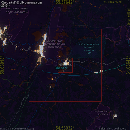
» Earth at Night: Flat Maps 2012, 2016