Karabash night lights from space
Night Light of Karabash (Chelyabinsk) from space (Russia) Src. Average luminocity for 10x10km area is 4.3609% and for 50x50km: 0.8004%.
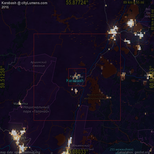
Analysis of Karabash night lights 2016
Square area 10x10 km:
 0%
0%90-99
0%80-89
0%70-79
0%60-69
2.38%50-59
1.38%40-49
0.75%30-39
0.88%20-29
2.38%10-19
1.25%0-9
90.98%Square area 50x50 km:
0.07%90-99
0.08%80-89
0.03%70-79
0.05%60-69
0.13%50-59
0.1%40-49
0.17%30-39
0.11%20-29
0.36%10-19
0.75%0-9
98.14%Clear (daylight) street map image can be seen on geolist.org.
Map coordinates:
55° 52' 38.1" North, 59° 30' 45.3" East
55° 28' 50.9" North, 60° 12' 56.5" East
55° 4' 49.2" North, 60° 55' 7.8" East
Some cities around Karabash sort by population:
• Zlatoust
49.6 km =30.8 mi,  226°
226°
• Miass
48.9 km =30.4 mi,  187°
187°
• Ozersk
43.2 km =26.8 mi,  45°
45°
• Kyshtym
33.5 km =20.8 mi,  39°
39°
• Kusa
51.4 km =31.9 mi,  252°
252°
• Argayash
41.7 km =25.9 mi,  88°
88°
• Novogornyy
39.9 km =24.8 mi,  65°
65°
• Magnitka
36 km =22.4 mi, 245°
1504636 (p: 15,630)
Sources (retrieved 2019-11-25):
» Earth at Night: Flat Maps 2012, 2016