Luzhniki night lights from space
Night Light of Luzhniki (Moscow) from space (Russia) Src. Average luminocity for 10x10km area is 99.8385% and for 50x50km: 83.6414%.
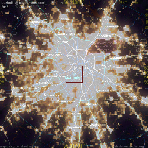
Analysis of Luzhniki night lights 2016
Square area 10x10 km:
 94.98%
90-99
4.67%80-89
0.36%70-79
0%60-69
0%50-59
0%40-49
0%30-39
0%20-29
0%10-19
0%0-9
0%Square area 50x50 km:
43.61%90-99
19.25%80-89
5.78%70-79
6.97%60-69
6.31%50-59
4.53%40-49
4.9%30-39
4.77%20-29
2.74%10-19
1.12%0-9
0.01%Clear (daylight) street map image can be seen on geolist.org.
Map coordinates:
56° 6' 36.2" North, 36° 51' 2.3" East
55° 42' 57.6" North, 37° 33' 13.5" East
55° 19' 4.5" North, 38° 15' 24.8" East
Some cities around Luzhniki sort by population:
• Ramenki
3.8 km =2.4 mi,  242°
242°
• Presnenskiy
3.8 km =2.4 mi,  356°
356°
• Novyye Cherëmushki
2.6 km =1.6 mi,  133°
133°
• Dorogomilovo
3.9 km =2.4 mi,  12°
12°
• Semënovskoye
3.6 km =2.2 mi,  183°
183°
• Leninskiye Gory
2 km =1.2 mi,  155°
155°
• Vorob’yovo
1.3 km =0.8 mi,  273°
273°
• Kastanayevo
3.4 km =2.1 mi, 271°
533067 (p: 30,000)
Sources (retrieved 2019-11-25):
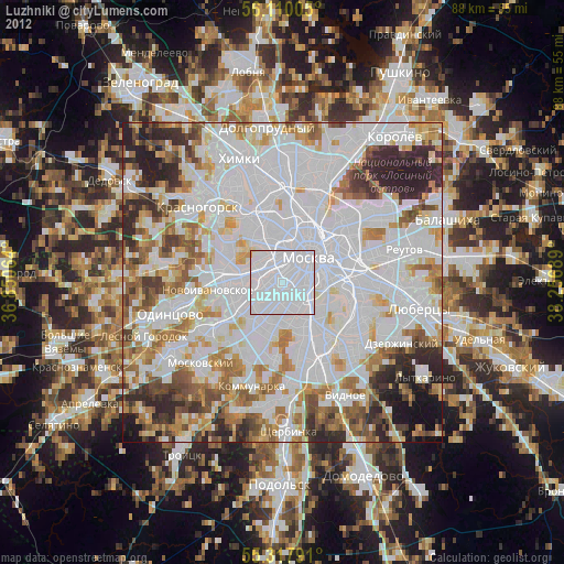
» Earth at Night: Flat Maps 2012, 2016