Vorob’yovo night lights from space
Night Light of Vorob’yovo (Moscow) from space (Russia) Src. Average luminocity for 10x10km area is 99.488% and for 50x50km: 83.6899%.
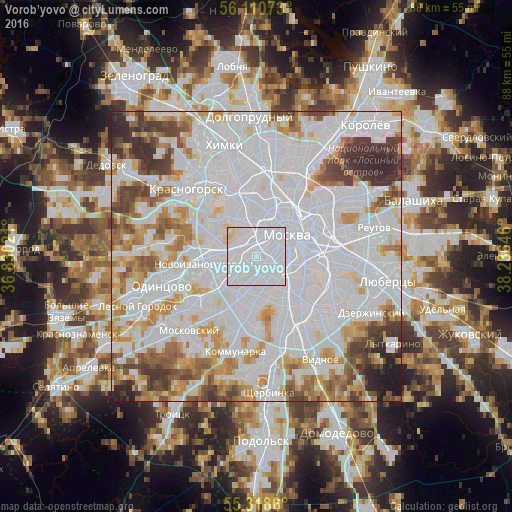
Analysis of Vorob’yovo night lights 2016
Square area 10x10 km:
 90.91%
90-99
7.18%80-89
1.91%70-79
0%60-69
0%50-59
0%40-49
0%30-39
0%20-29
0%10-19
0%0-9
0%Square area 50x50 km:
43.44%90-99
19.09%80-89
5.97%70-79
7.19%60-69
6.35%50-59
4.66%40-49
5.03%30-39
4.53%20-29
2.87%10-19
0.86%0-9
0%Clear (daylight) street map image can be seen on geolist.org.
Map coordinates:
56° 6' 38.6" North, 36° 49' 48.8" East
55° 43' 0" North, 37° 31' 60" East
55° 19' 7" North, 38° 14' 11.3" East
Some cities around Vorob’yovo sort by population:
• Ramenki
2.8 km =1.7 mi,  228°
228°
• Presnenskiy
3.9 km =2.4 mi,  15°
15°
• Novyye Cherëmushki
3.6 km =2.2 mi,  120°
120°
• Davydkovo
3.8 km =2.4 mi,  272°
272°
• Matveyevskoye
3.7 km =2.3 mi,  260°
260°
• Leninskiye Gory
2.8 km =1.7 mi,  131°
131°
• Luzhniki
1.3 km =0.8 mi,  93°
93°
• Kastanayevo
2.1 km =1.3 mi, 270°
472079 (p: 30,000)
Sources (retrieved 2019-11-25):
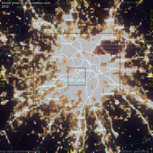
» Earth at Night: Flat Maps 2012, 2016