Ramenki night lights from space
Night Light of Ramenki (Moscow) from space (Russia) Src. Average luminocity for 10x10km area is 99.6208% and for 50x50km: 82.8488%.
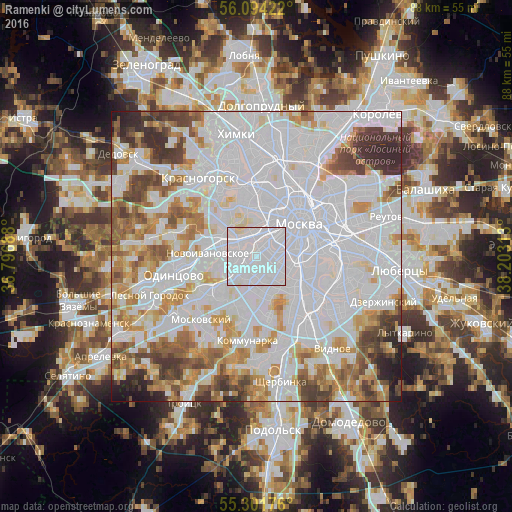
Analysis of Ramenki night lights 2016
Square area 10x10 km:
 89.83%
90-99
8.73%80-89
1.44%70-79
0%60-69
0%50-59
0%40-49
0%30-39
0%20-29
0%10-19
0%0-9
0%Square area 50x50 km:
42.27%90-99
18.54%80-89
5.99%70-79
7.3%60-69
6.77%50-59
5.22%40-49
5.29%30-39
4.51%20-29
2.97%10-19
1.13%0-9
0%Clear (daylight) street map image can be seen on geolist.org.
Map coordinates:
56° 5' 39.2" North, 36° 47' 48.8" East
55° 42' 0" North, 37° 30' 0" East
55° 18' 6.3" North, 38° 12' 11.3" East
Some cities around Ramenki sort by population:
• Semënovskoye
3.6 km =2.2 mi,  120°
120°
• Nikol’skoye
2.1 km =1.3 mi,  209°
209°
• Luzhniki
3.8 km =2.4 mi,  62°
62°
• Vorob’yovo
2.8 km =1.7 mi,  48°
48°
• Davydkovo
2.6 km =1.6 mi,  319°
319°
• Amin’yevo
2.1 km =1.3 mi,  270°
270°
• Matveyevskoye
2 km =1.2 mi,  308°
308°
• Kastanayevo
1.9 km =1.2 mi,  0°
0°
502971 (p: 130,000)
Sources (retrieved 2019-11-25):
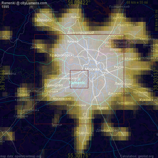
» NASA, Earths city lights 1995
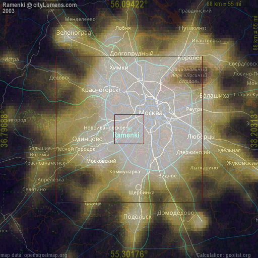
» NASA city lights 2003
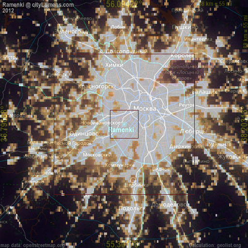
» Earth at Night: Flat Maps 2012, 2016