Dolgorukovo night lights from space
Night Light of Dolgorukovo (Lipetsk Oblast) from space (Russia) Src. Average luminocity for 10x10km area is 5.0429% and for 50x50km: 0.3898%.
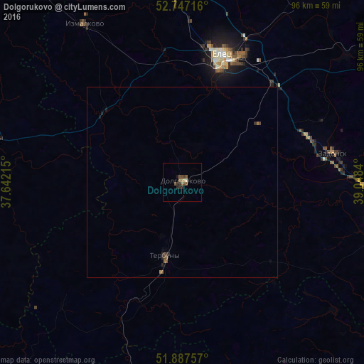
Analysis of Dolgorukovo night lights 2016
Square area 10x10 km:
 0%
0%90-99
0.51%80-89
0.51%70-79
0%60-69
0.63%50-59
2.65%40-49
1.26%30-39
1.52%20-29
1.01%10-19
1.52%0-9
90.4%Square area 50x50 km:
0%90-99
0.02%80-89
0.02%70-79
0.01%60-69
0.08%50-59
0.17%40-49
0.12%30-39
0.09%20-29
0.14%10-19
0.13%0-9
99.22%Clear (daylight) street map image can be seen on geolist.org.
Map coordinates:
52° 44' 49.8" North, 37° 38' 31.7" East
52° 19' 10" North, 38° 20' 43" East
51° 53' 15.3" North, 39° 2' 54.2" East
Some cities around Dolgorukovo sort by population:
• Yelets
35.4 km =22 mi,  17°
17°
• Livny
51.5 km =32 mi,  283°
283°
• Zadonsk
40.2 km =25 mi,  78°
78°
• Terbuny
19.4 km =12.1 mi,  192°
192°
• Kshenskiy
68.5 km =42.6 mi,  219°
219°
• Khlevnoye
52.7 km =32.7 mi,  105°
105°
• Borinskoye
71.3 km =44.3 mi, 77°
• Stanovoye
49.4 km =30.7 mi,  1°
1°
565611 (p: 5,599)
Sources (retrieved 2019-11-25):
» Earth at Night: Flat Maps 2012, 2016