Zalegoshch’ night lights from space
Night Light of Zalegoshch’ (Orel Oblast) from space (Russia) Src. Average luminocity for 10x10km area is 0.3144% and for 50x50km: 0.0174%.
Analysis of Zalegoshch’ night lights 2016
Square area 10x10 km:
 0%
0%90-99
0%80-89
0%70-79
0%60-69
0%50-59
0.51%40-49
0%30-39
0%20-29
0%10-19
0%0-9
99.49%Square area 50x50 km:
0%90-99
0%80-89
0%70-79
0%60-69
0%50-59
0.02%40-49
0%30-39
0%20-29
0.02%10-19
0.01%0-9
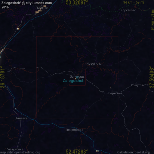
99.96%Clear (daylight) street map image can be seen on geolist.org.
Map coordinates:
53° 19' 15.5" North, 36° 11' 16.1" East
52° 53' 56" North, 36° 53' 27.3" East
52° 28' 21.6" North, 37° 35' 38.6" East
Some cities around Zalegoshch’ sort by population:
• Orël
54.9 km =34.1 mi,  277°
277°
• Livny
71.4 km =44.4 mi,  137°
137°
• Mtsensk
47 km =29.2 mi,  333°
333°
• Znamenka
61.3 km =38.1 mi,  269°
269°
• Verkhov’ye
25.5 km =15.8 mi,  112°
112°
• Chern’
61.6 km =38.3 mi,  1°
1°
• Glazunovka
58.7 km =36.5 mi,  220°
220°
• Zmiyëvka
43.3 km =26.9 mi,  233°
233°
465291 (p: 5,925)
Sources (retrieved 2019-11-25):
» Earth at Night: Flat Maps 2012, 2016