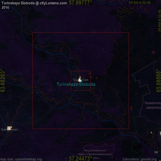
Turinskaya Sloboda night lights from space
Night Light of Turinskaya Sloboda (Sverdlovsk) from space (Russia) Src. Average luminocity for 10x10km area is 3.4155% and for 50x50km: 0.1326%.
Analysis of Turinskaya Sloboda night lights 2016
Square area 10x10 km:
 0.71%
0.71%90-99
1.19%80-89
0.95%70-79
0%60-69
0%50-59
0%40-49
0.48%30-39
0%20-29
0%10-19
0%0-9
96.67%Square area 50x50 km:
0.03%90-99
0.05%80-89
0.04%70-79
0%60-69
0%50-59
0%40-49
0.02%30-39
0%20-29
0%10-19
0%0-9
99.87%Clear (daylight) street map image can be seen on geolist.org.
Map coordinates:
57° 59' 52" North, 63° 40' 57.5" East
57° 37' 23.5" North, 64° 23' 8.7" East
57° 14' 41" North, 65° 5' 20" East
Some cities around Turinskaya Sloboda sort by population:
• Tyumen
86.1 km =53.5 mi,  127°
127°
• Lesnoy
77.8 km =48.3 mi,  269°
269°
• Irbit
78.4 km =48.7 mi, 273°
• Tavda
70.2 km =43.6 mi,  48°
48°
• Talitsa
78.6 km =48.8 mi,  209°
209°
• Troitskiy
73.4 km =45.6 mi, 211°
• Tugulym
64.6 km =40.1 mi,  166°
166°
• Baykalovo
44.6 km =27.7 mi,  235°
235°
1488931 (p: 6,023)
Sources (retrieved 2019-11-25):
» Earth at Night: Flat Maps 2012, 2016