Leninskoye night lights from space
Night Light of Leninskoye (Jewish Autonomous Oblast) from space (Russia) Src. Average luminocity for 10x10km area is 0.3878% and for 50x50km: 0.1119%.
Analysis of Leninskoye night lights 2016
Square area 10x10 km:
 0%
0%90-99
0%80-89
0%70-79
0%60-69
0.57%50-59
0%40-49
0%30-39
0%20-29
0%10-19
0%0-9
99.43%Square area 50x50 km:
0.04%90-99
0.02%80-89
0%70-79
0%60-69
0.02%50-59
0.02%40-49
0%30-39
0.01%20-29
0.02%10-19
0.02%0-9
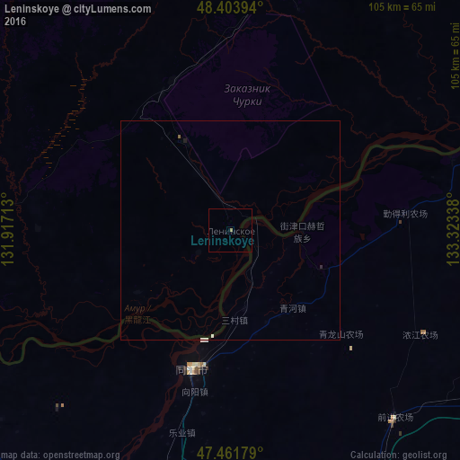
99.85%Clear (daylight) street map image can be seen on geolist.org.
Map coordinates:
48° 24' 14.2" North, 131° 55' 1.7" East
47° 56' 6" North, 132° 37' 12.9" East
47° 27' 42.4" North, 133° 19' 24.2" East
Some cities around Leninskoye sort by population:
• Fujin, CN
87 km =54.1 mi,  210°
210°
• Birobidzhan
98 km =60.9 mi,  13°
13°
• Fengxiang, CN
140.2 km =87.1 mi,  253°
253°
• Fuyuan, CN
132.6 km =82.4 mi,  68°
68°
• Vyazemskiy
165.7 km =103 mi,  105°
105°
• Khor
173.4 km =107.7 mi,  91°
91°
• Smidovich
114.7 km =71.3 mi,  50°
50°
• Amurzet
117 km =72.7 mi,  256°
256°
2020841 (p: 6,827)
Sources (retrieved 2019-11-25):
» Earth at Night: Flat Maps 2012, 2016