Fengxiang night lights from space
Night Light of Fengxiang (Heilongjiang) from space (China) Src. Average luminocity for 10x10km area is 2.2372% and for 50x50km: 0.19%.
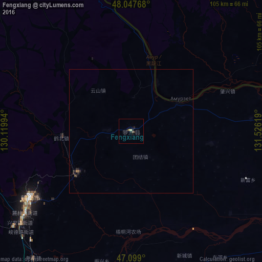
Analysis of Fengxiang night lights 2016
Square area 10x10 km:
 0%
0%90-99
0%80-89
0.71%70-79
0.43%60-69
0%50-59
0.57%40-49
0.43%30-39
0.43%20-29
1.42%10-19
0.71%0-9
95.31%Square area 50x50 km:
0%90-99
0%80-89
0.03%70-79
0.02%60-69
0.03%50-59
0.04%40-49
0.04%30-39
0.06%20-29
0.16%10-19
0.09%0-9
99.53%Clear (daylight) street map image can be seen on geolist.org.
Map coordinates:
48° 2' 51.6" North, 130° 7' 11.8" East
47° 34' 31.8" North, 130° 49' 23" East
47° 5' 56.4" North, 131° 31' 34.3" East
Some cities around Fengxiang sort by population:
• Hegang
46.6 km =29 mi,  237°
237°
• Shuangyashan
107.4 km =66.7 mi,  166°
166°
• Jiamusi
94.4 km =58.7 mi,  203°
203°
• Baoshan
121.9 km =75.7 mi,  158°
158°
• Fujin
97.5 km =60.6 mi,  111°
111°
• Lingdong
114.8 km =71.3 mi, 167°
• Fuli
97.9 km =60.8 mi, 165°
• Amurzet, RU
24.3 km =15.1 mi,  56°
56°
2037393 (p: 42,109)
Sources (retrieved 2019-11-25):
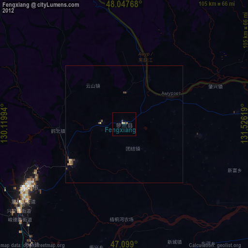
» Earth at Night: Flat Maps 2012, 2016