Amurzet night lights from space
Night Light of Amurzet (Jewish Autonomous Oblast) from space (Russia) Src. Average luminocity for 10x10km area is 0% and for 50x50km: 0.092%.
Analysis of Amurzet night lights 2016
Square area 10x10 km:
 0%
0%90-99
0%80-89
0%70-79
0%60-69
0%50-59
0%40-49
0%30-39
0%20-29
0%10-19
0%0-9
100%Square area 50x50 km:
0%90-99
0%80-89
0.03%70-79
0.02%60-69
0%50-59
0.02%40-49
0.02%30-39
0.02%20-29
0.06%10-19
0.03%0-9
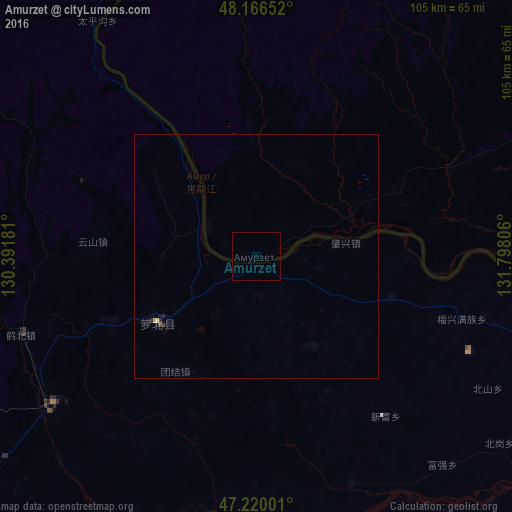
99.81%Clear (daylight) street map image can be seen on geolist.org.
Map coordinates:
48° 9' 59.5" North, 130° 23' 30.5" East
47° 41' 43.5" North, 131° 5' 41.7" East
47° 13' 12" North, 131° 47' 53" East
Some cities around Amurzet sort by population:
• Hegang, CN
70.9 km =44.1 mi,  237°
237°
• Shuangyashan, CN
117.9 km =73.3 mi,  177°
177°
• Jiamusi, CN
115.7 km =71.9 mi,  210°
210°
• Fujin, CN
85.5 km =53.1 mi,  124°
124°
• Lingdong, CN
125.5 km =78 mi, 178°
• Fuli, CN
108.3 km =67.3 mi, 178°
• Fengxiang, CN
24.3 km =15.1 mi, 236°
• Leninskoye
117 km =72.7 mi,  76°
76°
2027740 (p: 5,213)
Sources (retrieved 2019-11-25):
» Earth at Night: Flat Maps 2012, 2016